

Untermeitingen Mandichosee am Lech
A cycling route starting in Scheuring, Bavaria, Germany.
Overview
About this route
- 2 h 10 min
- Duration
- 35.2 km
- Distance
- 41 m
- Ascent
- 44 m
- Descent
- 16.2 km/h
- Avg. speed
- 559 m
- Max. altitude
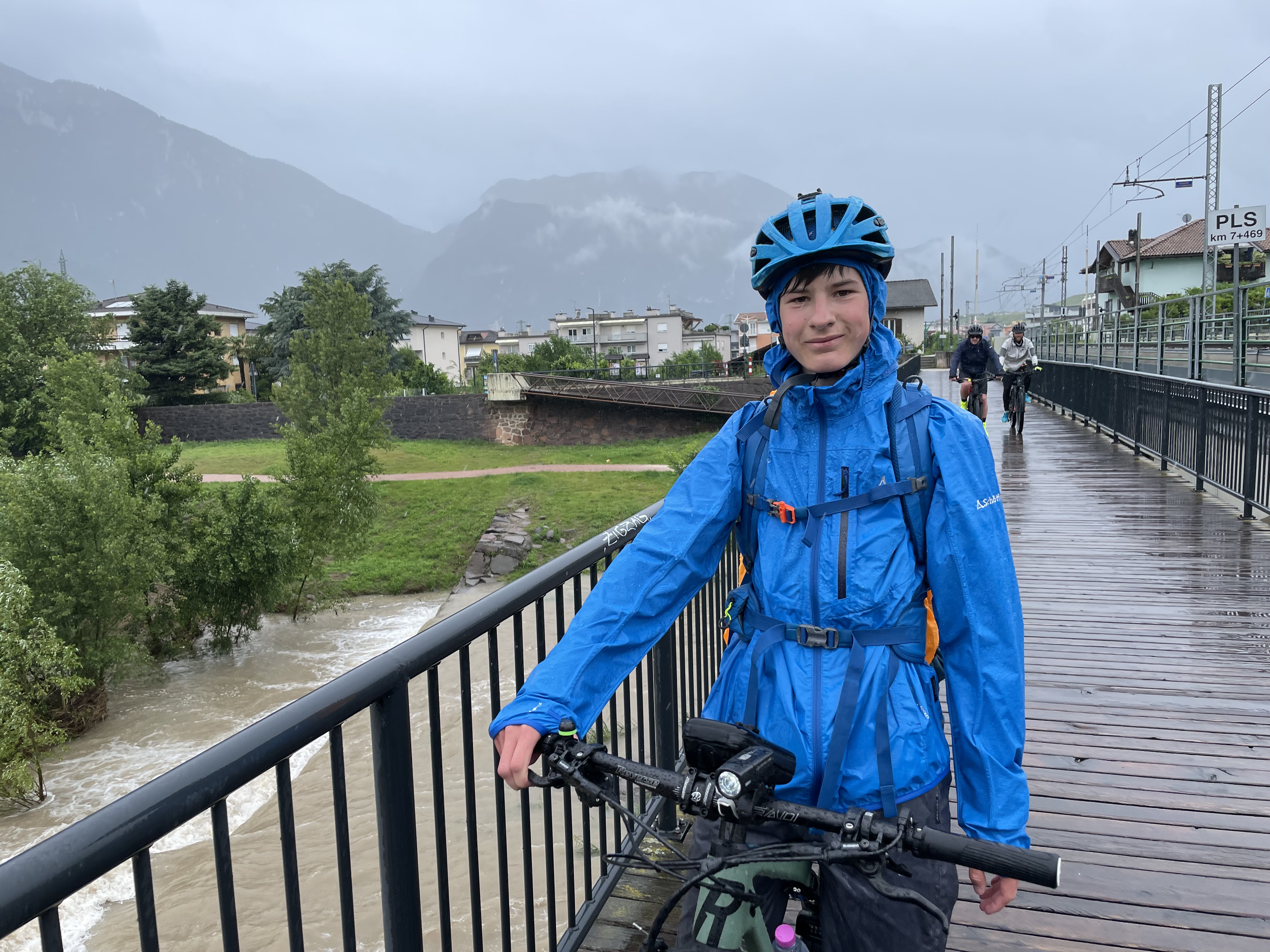
Route photos


Route quality
Waytypes & surfaces along the route
Waytypes
Track
23.6 km
(67 %)
Access road
5.3 km
(15 %)
Surfaces
Paved
13.4 km
(38 %)
Unpaved
21.5 km
(61 %)
Asphalt
13.4 km
(38 %)
Gravel
10.2 km
(29 %)
Continue with Bikemap
Use, edit, or download this cycling route
You would like to ride Untermeitingen Mandichosee am Lech or customize it for your own trip? Here is what you can do with this Bikemap route:
Free features
- Save this route as favorite or in collections
- Copy & plan your own version of this route
- Sync your route with Garmin or Wahoo
Premium features
Free trial for 3 days, or one-time payment. More about Bikemap Premium.
- Navigate this route on iOS & Android
- Export a GPX / KML file of this route
- Create your custom printout (try it for free)
- Download this route for offline navigation
Discover more Premium features.
Get Bikemap PremiumFrom our community
Other popular routes starting in Scheuring
 Ahornweg 1A, Scheuring nach Ahornweg 1A, Scheuring
- Distance
- 35.5 km
- Ascent
- 116 m
- Descent
- 112 m
- Location
- Scheuring, Bavaria, Germany
 Kaufering 43km
- Distance
- 42.3 km
- Ascent
- 84 m
- Descent
- 84 m
- Location
- Scheuring, Bavaria, Germany
 Lechweg
- Distance
- 19.8 km
- Ascent
- 39 m
- Descent
- 42 m
- Location
- Scheuring, Bavaria, Germany
 Untermeitingen Mandichosee am Lech
- Distance
- 35.2 km
- Ascent
- 41 m
- Descent
- 44 m
- Location
- Scheuring, Bavaria, Germany
 Walcher
- Distance
- 5.2 km
- Ascent
- 56 m
- Descent
- 36 m
- Location
- Scheuring, Bavaria, Germany
 Scheuring - Memmingen
- Distance
- 71.7 km
- Ascent
- 274 m
- Descent
- 221 m
- Location
- Scheuring, Bavaria, Germany
 Via Claudia Augusta Hlatenberg-Garmisch
- Distance
- 120.5 km
- Ascent
- 864 m
- Descent
- 702 m
- Location
- Scheuring, Bavaria, Germany
 Scheuring am Lech nach Mundraching und westlich am Lech zurück
- Distance
- 62.1 km
- Ascent
- 534 m
- Descent
- 535 m
- Location
- Scheuring, Bavaria, Germany
Open it in the app