

Circuit VTT n°7 terres de Marboz
A cycling route starting in Marboz, Auvergne-Rhône-Alpes, France.
Overview
About this route
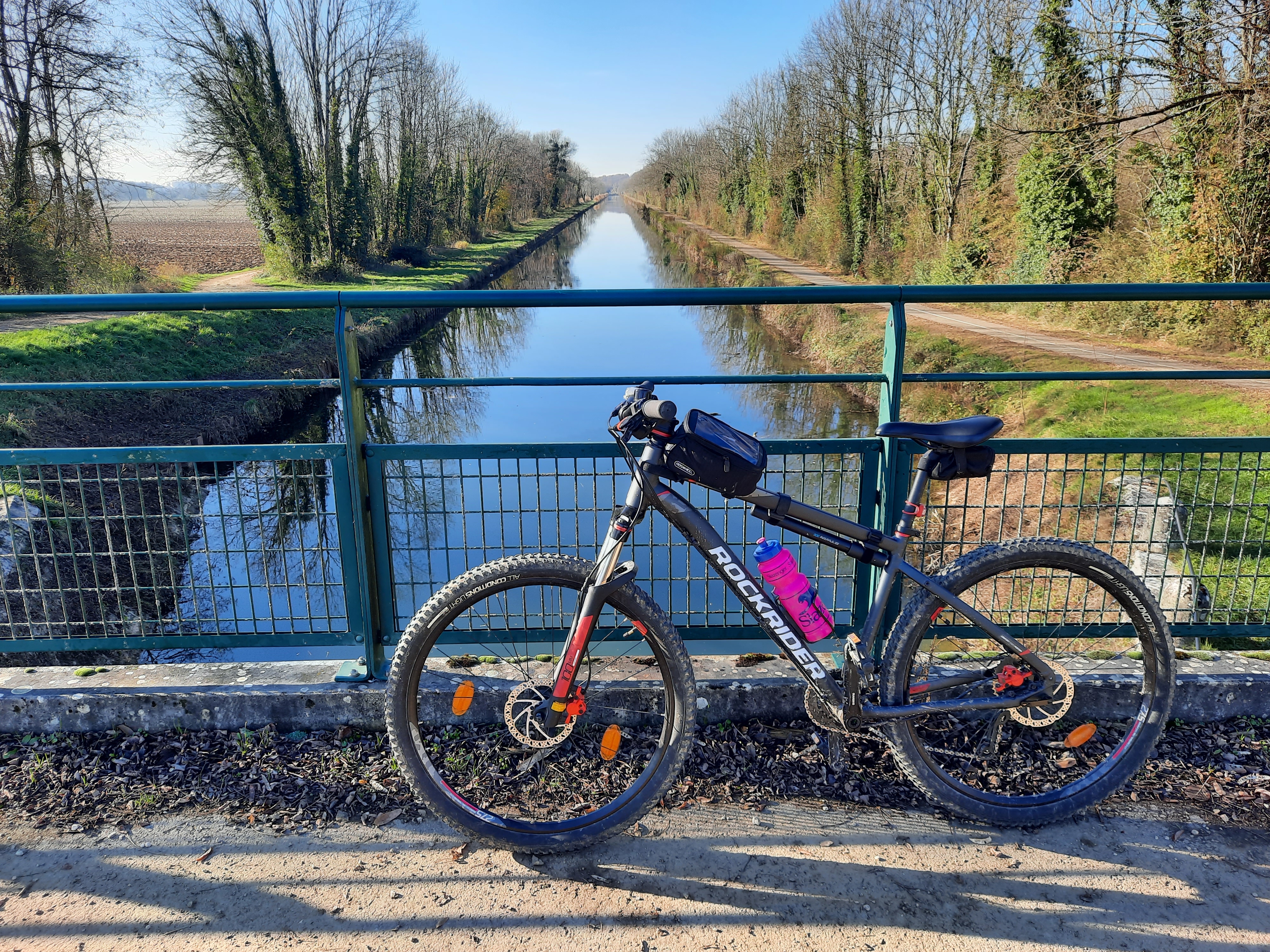
Typical village of Bresse, Marboz offers a range of landscapes, from the Grobost meadow, forest paths and agricultural lands to panoramic hills, horses and farms. Several possible starting points: Marboz, Bény... Other starting points: - Marboz, church square, Teppes pond - Bény, town hall square, stadium - St-Etienne du Bois, town hall square, Châtelet pond - Bresse-Vallon, Bizadan pond
- -:--
- Duration
- 33 km
- Distance
- 331 m
- Ascent
- 330 m
- Descent
- ---
- Avg. speed
- 237 m
- Max. altitude
Continue with Bikemap
Use, edit, or download this cycling route
You would like to ride Circuit VTT n°7 terres de Marboz or customize it for your own trip? Here is what you can do with this Bikemap route:
Free features
- Save this route as favorite or in collections
- Copy & plan your own version of this route
- Sync your route with Garmin or Wahoo
Premium features
Free trial for 3 days, or one-time payment. More about Bikemap Premium.
- Navigate this route on iOS & Android
- Export a GPX / KML file of this route
- Create your custom printout (try it for free)
- Download this route for offline navigation
Discover more Premium features.
Get Bikemap PremiumFrom our community
Other popular routes starting in Marboz
 Circuit VTT n°7 terres de Marboz
- Distance
- 33 km
- Ascent
- 331 m
- Descent
- 330 m
- Location
- Marboz, Auvergne-Rhône-Alpes, France
 De Les Plattières 324, Bény à D28A 413, Bény
- Distance
- 22.8 km
- Ascent
- 207 m
- Descent
- 208 m
- Location
- Marboz, Auvergne-Rhône-Alpes, France
 Saint Germain to Switzerland
- Distance
- 167.2 km
- Ascent
- 2,176 m
- Descent
- 1,969 m
- Location
- Marboz, Auvergne-Rhône-Alpes, France
 De Les Plattières, Bény à Rue de la Tour de Vaillière 6, Val-Revermont
- Distance
- 10 km
- Ascent
- 214 m
- Descent
- 111 m
- Location
- Marboz, Auvergne-Rhône-Alpes, France
 80km - 15 mai 2012 - bény / jassans
- Distance
- 80.8 km
- Ascent
- 195 m
- Descent
- 236 m
- Location
- Marboz, Auvergne-Rhône-Alpes, France
 De Place de la Mairie 4, Bény à Boulevard des Crêtes du Revermont 1380, Bourg-en-Bresse
- Distance
- 14.2 km
- Ascent
- 123 m
- Descent
- 124 m
- Location
- Marboz, Auvergne-Rhône-Alpes, France
 beny - poully saint g=enis
- Distance
- 124.3 km
- Ascent
- 1,455 m
- Descent
- 1,239 m
- Location
- Marboz, Auvergne-Rhône-Alpes, France
 De Les Plattières, Bény à Chemin du Colombier 48, Attignat
- Distance
- 14.6 km
- Ascent
- 155 m
- Descent
- 163 m
- Location
- Marboz, Auvergne-Rhône-Alpes, France
Open it in the app