

Circuit VTT n°4La Voie Royale
A cycling route starting in Montrevel-en-Bresse, Auvergne-Rhône-Alpes, France.
Overview
About this route
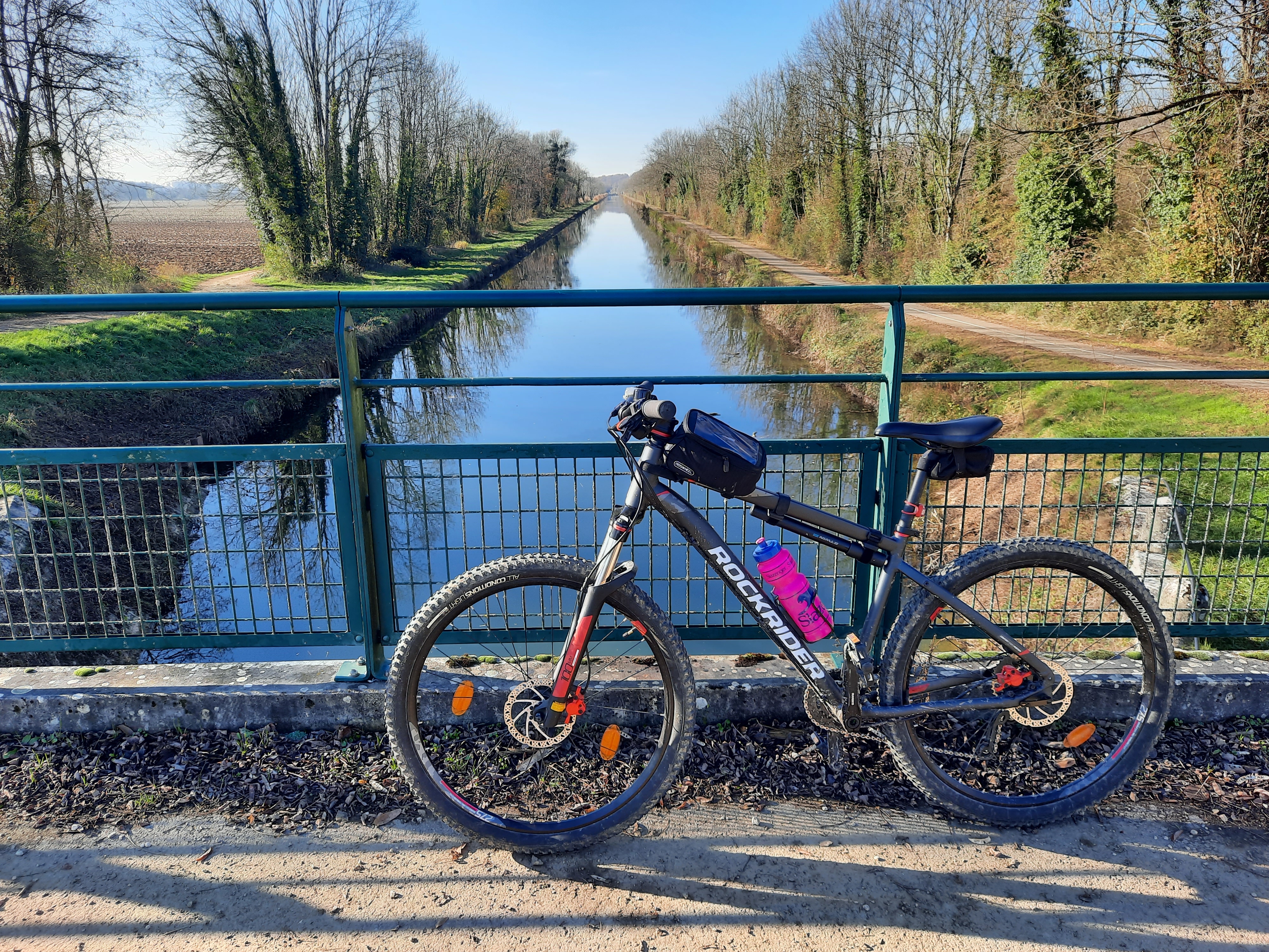
Located in the heart of the rolling landscapes typical of the Reyssouze valley, this is a pleasant and very accessible cross-country route starting from the Plaine Tonique leisure base. Sections on ancient paths, such as the old royal road, a trail around the large lakes of Montrevel en Bresse, wide gravel tracks or through the forests of Balvay and But, including a crossing of the sensitive natural area of the Bizadan marsh, the alleys of Cras, and trails along the Reyssouze river. Land of poultry, butter, and Bresse cream, cheese dairies and producers are nearby.
- -:--
- Duration
- 41 km
- Distance
- 115 m
- Ascent
- 115 m
- Descent
- ---
- Avg. speed
- 234 m
- Max. altitude
Route quality
Waytypes & surfaces along the route
Waytypes
Track
21.3 km
(52 %)
Quiet road
14.4 km
(35 %)
Surfaces
Paved
0.4 km
(1 %)
Unpaved
6.6 km
(16 %)
Ground
3.7 km
(9 %)
Gravel
2.1 km
(5 %)
Continue with Bikemap
Use, edit, or download this cycling route
You would like to ride Circuit VTT n°4La Voie Royale or customize it for your own trip? Here is what you can do with this Bikemap route:
Free features
- Save this route as favorite or in collections
- Copy & plan your own version of this route
- Sync your route with Garmin or Wahoo
Premium features
Free trial for 3 days, or one-time payment. More about Bikemap Premium.
- Navigate this route on iOS & Android
- Export a GPX / KML file of this route
- Create your custom printout (try it for free)
- Download this route for offline navigation
Discover more Premium features.
Get Bikemap PremiumFrom our community
Other popular routes starting in Montrevel-en-Bresse
 Village Tonique, Malafretaz naar Village Tonique, Malafretaz
- Distance
- 21.9 km
- Ascent
- 165 m
- Descent
- 165 m
- Location
- Montrevel-en-Bresse, Auvergne-Rhône-Alpes, France
 Circuit VTT n°2 Plaine Tonique à Étrez
- Distance
- 16 km
- Ascent
- 57 m
- Descent
- 57 m
- Location
- Montrevel-en-Bresse, Auvergne-Rhône-Alpes, France
 montrevel - jassans 70 km
- Distance
- 70.4 km
- Ascent
- 170 m
- Descent
- 169 m
- Location
- Montrevel-en-Bresse, Auvergne-Rhône-Alpes, France
 rondje frankrijk
- Distance
- 32.1 km
- Ascent
- 94 m
- Descent
- 94 m
- Location
- Montrevel-en-Bresse, Auvergne-Rhône-Alpes, France
 De Route d'Etrez 599, Malafretaz à Route d'Etrez 599, Malafretaz
- Distance
- 42.5 km
- Ascent
- 428 m
- Descent
- 425 m
- Location
- Montrevel-en-Bresse, Auvergne-Rhône-Alpes, France
 ronde saint sulpice
- Distance
- 36.4 km
- Ascent
- 304 m
- Descent
- 305 m
- Location
- Montrevel-en-Bresse, Auvergne-Rhône-Alpes, France
 De Rue de l'Église, Montrevel-en-Bresse à 8–9 Place de l'Hôtel de Ville, Bourg-en-Bresse
- Distance
- 19.1 km
- Ascent
- 56 m
- Descent
- 38 m
- Location
- Montrevel-en-Bresse, Auvergne-Rhône-Alpes, France
 Ouessant
- Distance
- 910 km
- Ascent
- 912 m
- Descent
- 1,040 m
- Location
- Montrevel-en-Bresse, Auvergne-Rhône-Alpes, France
Open it in the app