

Circuit VTT n°6 Chavannes - Simandre
A cycling route starting in Villereversure, Auvergne-Rhône-Alpes, France.
Overview
About this route
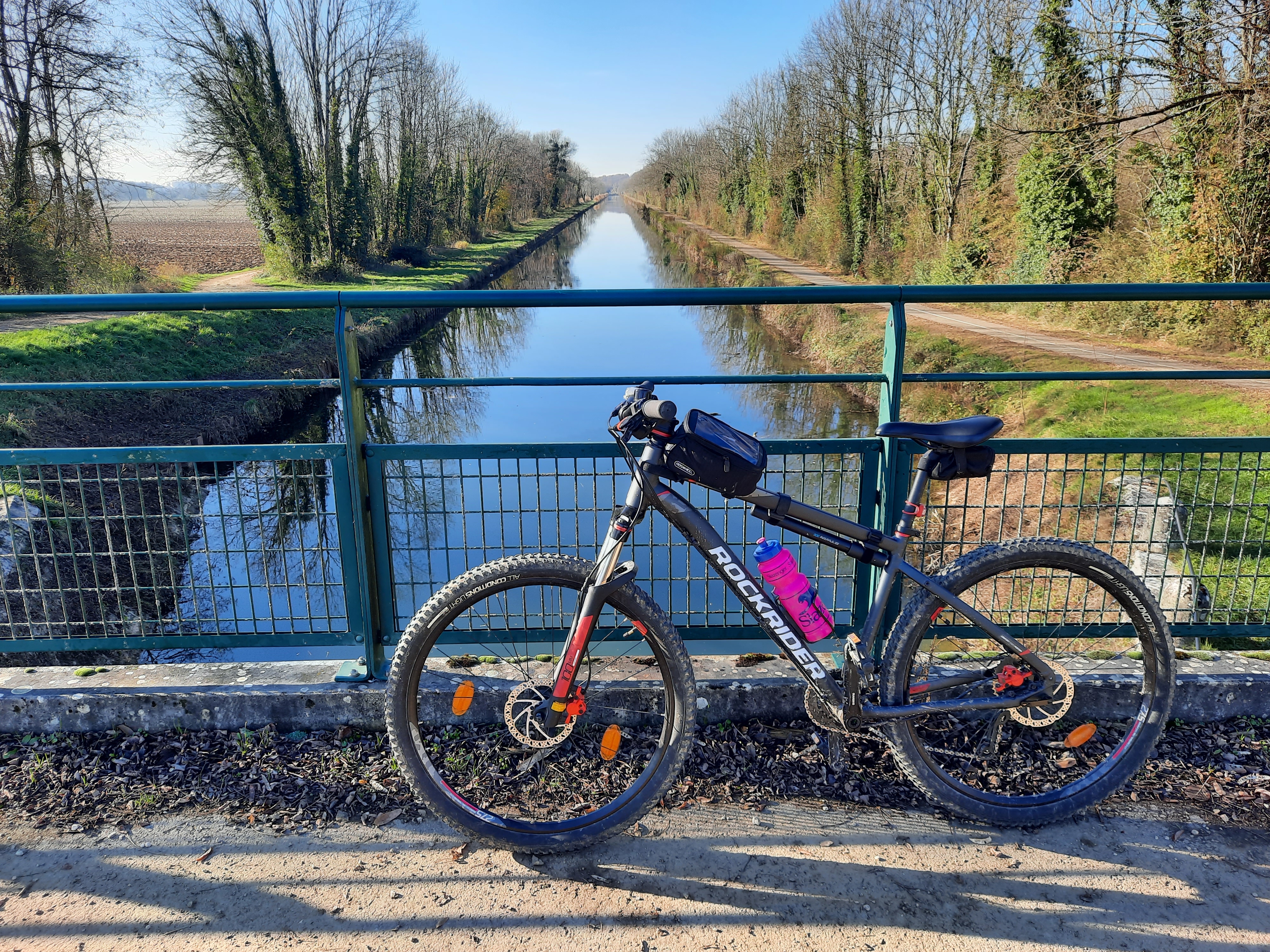
In the heart of the Suran valley, a hike leads through the lands of the Comté, with meadows typical of the Jura mountains. A river crossing offers views of its fords and a discovery of Chavannes, the Comtoise village.
- -:--
- Duration
- 13.1 km
- Distance
- 79 m
- Ascent
- 78 m
- Descent
- ---
- Avg. speed
- 350 m
- Max. altitude
Route quality
Waytypes & surfaces along the route
Waytypes
Quiet road
8.8 km
(67 %)
Track
1.8 km
(14 %)
Surfaces
Paved
0.4 km
(3 %)
Unpaved
1.6 km
(12 %)
Gravel
1.2 km
(9 %)
Unpaved (undefined)
0.4 km
(3 %)
Continue with Bikemap
Use, edit, or download this cycling route
You would like to ride Circuit VTT n°6 Chavannes - Simandre or customize it for your own trip? Here is what you can do with this Bikemap route:
Free features
- Save this route as favorite or in collections
- Copy & plan your own version of this route
- Sync your route with Garmin or Wahoo
Premium features
Free trial for 3 days, or one-time payment. More about Bikemap Premium.
- Navigate this route on iOS & Android
- Export a GPX / KML file of this route
- Create your custom printout (try it for free)
- Download this route for offline navigation
Discover more Premium features.
Get Bikemap PremiumFrom our community
Other popular routes starting in Villereversure
 Circuit VTT n°6 Chavannes - Simandre
- Distance
- 13.1 km
- Ascent
- 79 m
- Descent
- 78 m
- Location
- Villereversure, Auvergne-Rhône-Alpes, France
 Circuit VTT n°7 Drom - Villereversure
- Distance
- 26.9 km
- Ascent
- 447 m
- Descent
- 447 m
- Location
- Villereversure, Auvergne-Rhône-Alpes, France
 itinaire 2
- Distance
- 36 km
- Ascent
- 905 m
- Descent
- 366 m
- Location
- Villereversure, Auvergne-Rhône-Alpes, France
 Recovered Route
- Distance
- 1.8 km
- Ascent
- 21 m
- Descent
- 57 m
- Location
- Villereversure, Auvergne-Rhône-Alpes, France
 De Rue de l'Église, Grand-Corent à 2–108 Place de la Mairie, Champdor
- Distance
- 44 km
- Ascent
- 1,177 m
- Descent
- 835 m
- Location
- Villereversure, Auvergne-Rhône-Alpes, France
 114 Chemin de Miglene-Gare, Villereversure à 122 Chemin de Miglene-Gare, Villereversure
- Distance
- 3.4 km
- Ascent
- 40 m
- Descent
- 39 m
- Location
- Villereversure, Auvergne-Rhône-Alpes, France
 TAV14_4
- Distance
- 119.3 km
- Ascent
- 2,016 m
- Descent
- 1,986 m
- Location
- Villereversure, Auvergne-Rhône-Alpes, France
 De 855–1415 Chemin de la Rivière, Hautecourt-Romanèche à 855–1415 Chemin de la Rivière, Hautecourt-Romanèche
- Distance
- 21.7 km
- Ascent
- 189 m
- Descent
- 189 m
- Location
- Villereversure, Auvergne-Rhône-Alpes, France
Open it in the app