

Circuit VTT n°3 Treffort cité médiévale
A cycling route starting in Cuisiat, Auvergne-Rhône-Alpes, France.
Overview
About this route
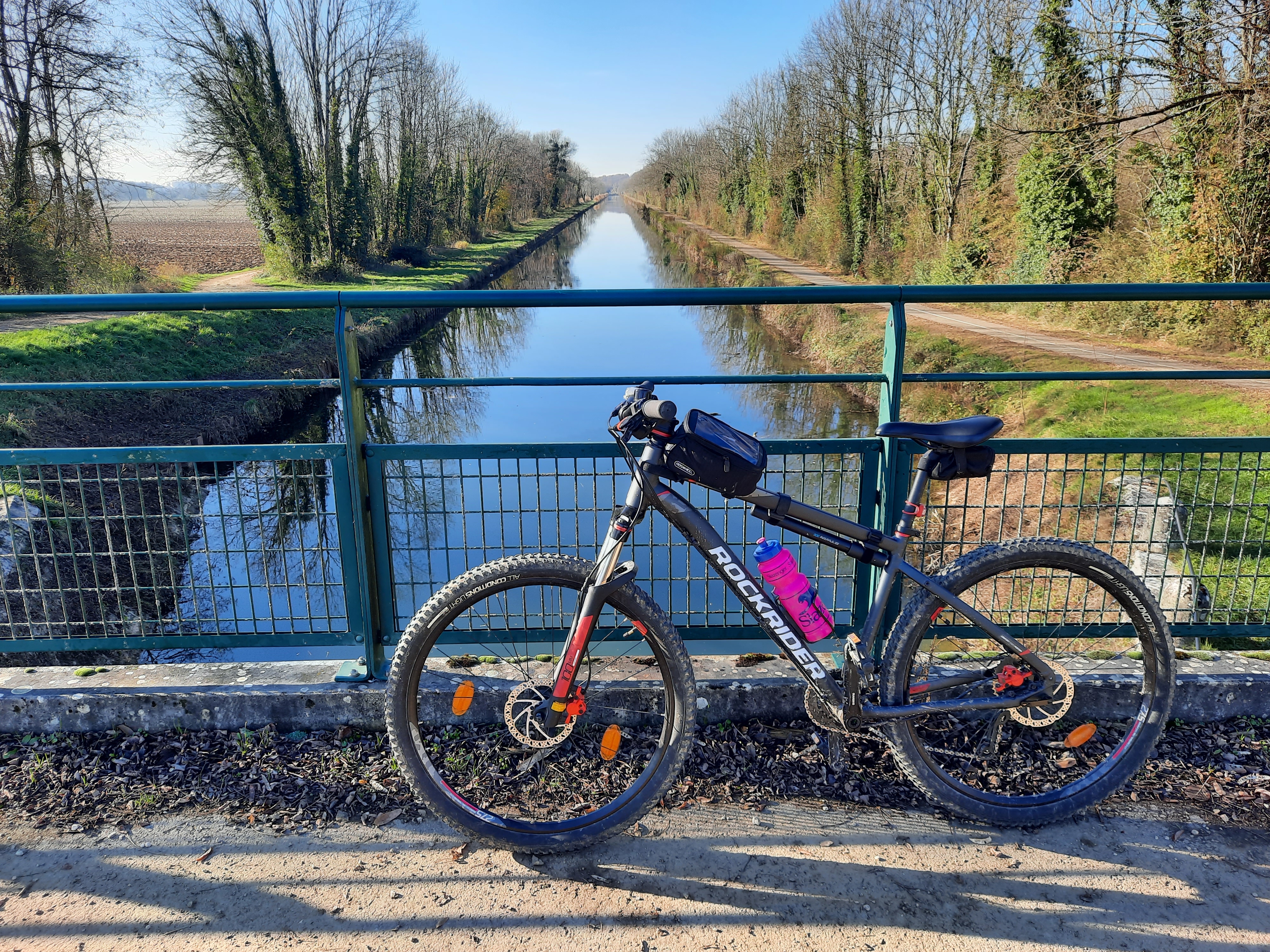
Leaving the banks of the pond with its natural and forested setting, the path climbs towards the Savoyard citadel of Revermont.
- -:--
- Duration
- 11.5 km
- Distance
- 146 m
- Ascent
- 144 m
- Descent
- ---
- Avg. speed
- 324 m
- Max. altitude
Continue with Bikemap
Use, edit, or download this cycling route
You would like to ride Circuit VTT n°3 Treffort cité médiévale or customize it for your own trip? Here is what you can do with this Bikemap route:
Free features
- Save this route as favorite or in collections
- Copy & plan your own version of this route
- Sync your route with Garmin or Wahoo
Premium features
Free trial for 3 days, or one-time payment. More about Bikemap Premium.
- Navigate this route on iOS & Android
- Export a GPX / KML file of this route
- Create your custom printout (try it for free)
- Download this route for offline navigation
Discover more Premium features.
Get Bikemap PremiumFrom our community
Other popular routes starting in Cuisiat
 Stage 21 of 26 Treffort - Parcey 100km
- Distance
- 100.9 km
- Ascent
- 548 m
- Descent
- 625 m
- Location
- Cuisiat, Auvergne-Rhône-Alpes, France
 2eme jour
- Distance
- 26.7 km
- Ascent
- 157 m
- Descent
- 292 m
- Location
- Cuisiat, Auvergne-Rhône-Alpes, France
 France Montfleur/Bourg-en-Bress
- Distance
- 26.6 km
- Ascent
- 111 m
- Descent
- 248 m
- Location
- Cuisiat, Auvergne-Rhône-Alpes, France
 2eme j
- Distance
- 26.6 km
- Ascent
- 164 m
- Descent
- 299 m
- Location
- Cuisiat, Auvergne-Rhône-Alpes, France
 Circuit VTT n°4 Meillonnas-Treffort-Cuisiat
- Distance
- 32.1 km
- Ascent
- 482 m
- Descent
- 481 m
- Location
- Cuisiat, Auvergne-Rhône-Alpes, France
 Circuit VTT n°3 Treffort cité médiévale
- Distance
- 11.5 km
- Ascent
- 146 m
- Descent
- 144 m
- Location
- Cuisiat, Auvergne-Rhône-Alpes, France
 Route naar 333 Grande Rue Grande Rue, Coligny
- Distance
- 13.9 km
- Ascent
- 550 m
- Descent
- 508 m
- Location
- Cuisiat, Auvergne-Rhône-Alpes, France
 De Impasse Froissard 1, Val-Revermont à Unnamed Road, Val-Revermont
- Distance
- 2.9 km
- Ascent
- 276 m
- Descent
- 3 m
- Location
- Cuisiat, Auvergne-Rhône-Alpes, France
Open it in the app