

Circuit VTT n°7 Drom - Villereversure
A cycling route starting in Villereversure, Auvergne-Rhône-Alpes, France.
Overview
About this route
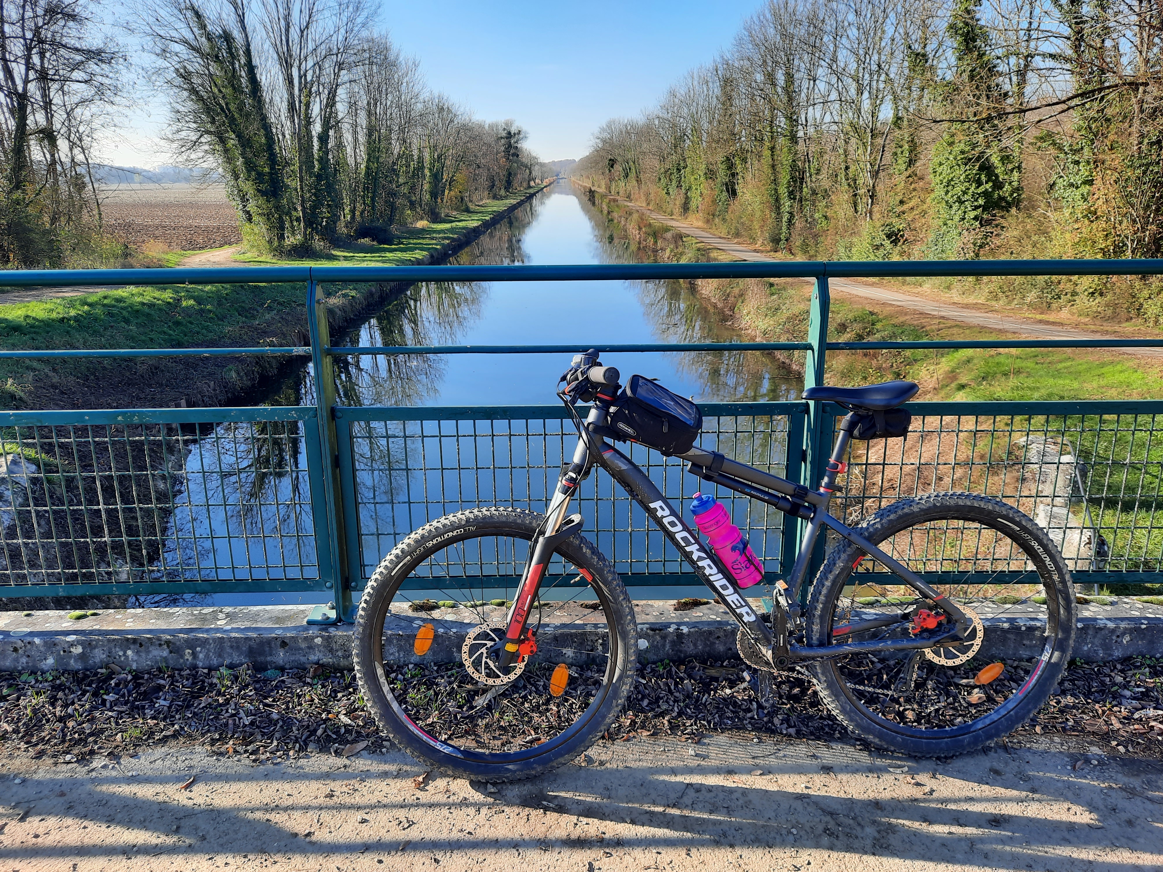
In the heart of the Suran valley, a triptych featuring climbs of the Valuisant mountain, Mt de Corent, and the Col de la Rousse, with passages through the royal forest of La Rousse and crossing the meadows, all on the lands of the three Comté cheese dairies.
- -:--
- Duration
- 26.9 km
- Distance
- 447 m
- Ascent
- 447 m
- Descent
- ---
- Avg. speed
- 411 m
- Max. altitude
Route quality
Waytypes & surfaces along the route
Waytypes
Track
18.5 km
(69 %)
Quiet road
4.3 km
(16 %)
Surfaces
Paved
1.3 km
(5 %)
Unpaved
0.5 km
(2 %)
Asphalt
1.3 km
(5 %)
Ground
0.5 km
(2 %)
Undefined
25 km
(93 %)
Continue with Bikemap
Use, edit, or download this cycling route
You would like to ride Circuit VTT n°7 Drom - Villereversure or customize it for your own trip? Here is what you can do with this Bikemap route:
Free features
- Save this route as favorite or in collections
- Copy & plan your own version of this route
- Sync your route with Garmin or Wahoo
Premium features
Free trial for 3 days, or one-time payment. More about Bikemap Premium.
- Navigate this route on iOS & Android
- Export a GPX / KML file of this route
- Create your custom printout (try it for free)
- Download this route for offline navigation
Discover more Premium features.
Get Bikemap PremiumFrom our community
Other popular routes starting in Villereversure
 Recovered Route
- Distance
- 1.8 km
- Ascent
- 21 m
- Descent
- 57 m
- Location
- Villereversure, Auvergne-Rhône-Alpes, France
 Circuit VTT n°5 Forêt de la Rousse - Bois de Valuisant
- Distance
- 10.5 km
- Ascent
- 45 m
- Descent
- 44 m
- Location
- Villereversure, Auvergne-Rhône-Alpes, France
 Circuit VTT n°7 Drom - Villereversure
- Distance
- 26.9 km
- Ascent
- 447 m
- Descent
- 447 m
- Location
- Villereversure, Auvergne-Rhône-Alpes, France
 Circuit VTT n°6 Chavannes - Simandre
- Distance
- 13.1 km
- Ascent
- 79 m
- Descent
- 78 m
- Location
- Villereversure, Auvergne-Rhône-Alpes, France
 273 Route de Curfin, Villereversure à 74–138 Chemin de Miglène, Villereversure
- Distance
- 2.1 km
- Ascent
- 21 m
- Descent
- 26 m
- Location
- Villereversure, Auvergne-Rhône-Alpes, France
 114 Chemin de Miglene-Gare, Villereversure à 122 Chemin de Miglene-Gare, Villereversure
- Distance
- 3.4 km
- Ascent
- 40 m
- Descent
- 39 m
- Location
- Villereversure, Auvergne-Rhône-Alpes, France
 De 855–1415 Chemin de la Rivière, Hautecourt-Romanèche à 855–1415 Chemin de la Rivière, Hautecourt-Romanèche
- Distance
- 21.7 km
- Ascent
- 189 m
- Descent
- 189 m
- Location
- Villereversure, Auvergne-Rhône-Alpes, France
 itinaire 2
- Distance
- 36 km
- Ascent
- 905 m
- Descent
- 366 m
- Location
- Villereversure, Auvergne-Rhône-Alpes, France
Open it in the app