

CARCASSONE A KATARSKÉ HRADY PRO KAŽDÉHO: (FRANCIE, **ANDORRA, ŠPANĚLSKO)
A cycling route starting in Villegailhenc, Occitanie, France.
Overview
About this route
Relaxing stay at the beach with options for cycling trips to romantic Cathar castles, fairy-tale fortified towns, and monasteries in the Carcassonne area, suitable for families with children and fit cyclists who want to ride in mountainous areas traversed by the Tour de France.
- -:--
- Duration
- 243.4 km
- Distance
- 1,859 m
- Ascent
- 1,649 m
- Descent
- ---
- Avg. speed
- ---
- Max. altitude

Route quality
Waytypes & surfaces along the route
Waytypes
Road
41.4 km
(17 %)
Quiet road
38.9 km
(16 %)
Surfaces
Paved
138.7 km
(57 %)
Unpaved
2.4 km
(1 %)
Asphalt
138.7 km
(57 %)
Gravel
2.4 km
(1 %)
Undefined
102.2 km
(42 %)
Route highlights
Points of interest along the route
Point of interest after 0 km
Lastours
Point of interest after 16.8 km
Carcassonne
Point of interest after 59.4 km
Point of interest after 140.8 km
Lagrasse
Point of interest after 236.3 km
Prades
Point of interest after 243.4 km
Villefranche-de-Conflent,
Continue with Bikemap
Use, edit, or download this cycling route
You would like to ride CARCASSONE A KATARSKÉ HRADY PRO KAŽDÉHO: (FRANCIE, **ANDORRA, ŠPANĚLSKO) or customize it for your own trip? Here is what you can do with this Bikemap route:
Free features
- Save this route as favorite or in collections
- Copy & plan your own version of this route
- Split it into stages to create a multi-day tour
- Sync your route with Garmin or Wahoo
Premium features
Free trial for 3 days, or one-time payment. More about Bikemap Premium.
- Navigate this route on iOS & Android
- Export a GPX / KML file of this route
- Create your custom printout (try it for free)
- Download this route for offline navigation
Discover more Premium features.
Get Bikemap PremiumFrom our community
Other popular routes starting in Villegailhenc
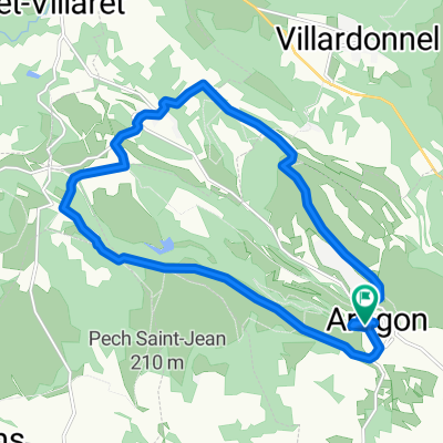
 Pic de Nore from Aragon
- Distance
- 73.8 km
- Ascent
- 2,395 m
- Descent
- 2,376 m
- Location
- Villegailhenc, Occitanie, France
 Pic de Nore
- Distance
- 57.1 km
- Ascent
- 1,443 m
- Descent
- 1,443 m
- Location
- Villegailhenc, Occitanie, France
 Od Dordogne do Provence 9.etapa
- Distance
- 63.1 km
- Ascent
- 229 m
- Descent
- 451 m
- Location
- Villegailhenc, Occitanie, France
 Dordogne 20130718
- Distance
- 73.7 km
- Ascent
- 361 m
- Descent
- 512 m
- Location
- Villegailhenc, Occitanie, France
 aragon st denis
- Distance
- 32 km
- Ascent
- 505 m
- Descent
- 496 m
- Location
- Villegailhenc, Occitanie, France
 16 Avenue du Languedoc, Villegailhenc to 31B Rue Aimé Ramond, Carcassonne
- Distance
- 8.6 km
- Ascent
- 73 m
- Descent
- 88 m
- Location
- Villegailhenc, Occitanie, France
 1945 - 1/7
- Distance
- 159.8 km
- Ascent
- 3,245 m
- Descent
- 2,746 m
- Location
- Villegailhenc, Occitanie, France
 Relaxed route in Aragon
- Distance
- 17.5 km
- Ascent
- 316 m
- Descent
- 314 m
- Location
- Villegailhenc, Occitanie, France
Open it in the app