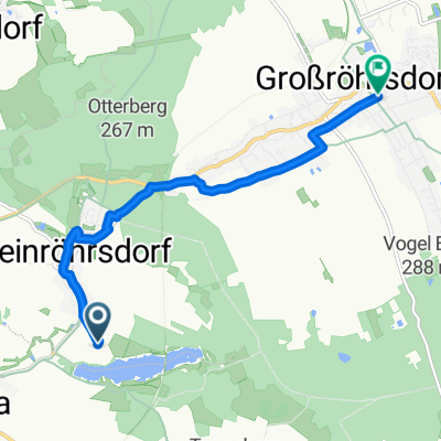
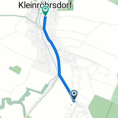
Rossendor-Stolpen-Stürza-Weißig-Rossendorf
- 46.2 km
- 312 m
- 312 m
- Arnsdorf, Saxony, Germany
A cycling route starting in Arnsdorf, Saxony, Germany.
Overview
created this 13 years ago
Route quality
Path
11.1 km
(24 %)
Quiet road
7.4 km
(16 %)
Paved
35.6 km
(77 %)
Unpaved
2.3 km
(5 %)
Asphalt
34.2 km
(74 %)
Concrete
1.4 km
(3 %)
Route highlights
Continue with Bikemap
You would like to ride Rossendor-Stolpen-Stürza-Weißig-Rossendorf or customize it for your own trip? Here is what you can do with this Bikemap route:
Free trial for 3 days, or one-time payment. More about Bikemap Premium.
Discover more Premium features.
Get Bikemap PremiumFrom our community
Open it in the app