
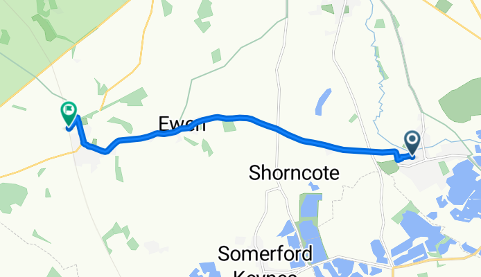
14 Meadow Way, Cirencester to Kemble Railway Station, Cirencester
A cycling route starting in Cirencester, England, United Kingdom.
Overview
About this route
- 17 min
- Duration
- 7.1 km
- Distance
- 52 m
- Ascent
- 33 m
- Descent
- 24.9 km/h
- Avg. speed
- 116 m
- Max. altitude
Route quality
Waytypes & surfaces along the route
Waytypes
Road
5 km
(70 %)
Quiet road
1.3 km
(18 %)
Surfaces
Paved
0.5 km
(7 %)
Unpaved
0.1 km
(<1 %)
Asphalt
0.5 km
(7 %)
Gravel
0.1 km
(<1 %)
Undefined
6.6 km
(92 %)
Continue with Bikemap
Use, edit, or download this cycling route
You would like to ride 14 Meadow Way, Cirencester to Kemble Railway Station, Cirencester or customize it for your own trip? Here is what you can do with this Bikemap route:
Free features
- Save this route as favorite or in collections
- Copy & plan your own version of this route
- Sync your route with Garmin or Wahoo
Premium features
Free trial for 3 days, or one-time payment. More about Bikemap Premium.
- Navigate this route on iOS & Android
- Export a GPX / KML file of this route
- Create your custom printout (try it for free)
- Download this route for offline navigation
Discover more Premium features.
Get Bikemap PremiumFrom our community
Other popular routes starting in Cirencester
 Cirencester - Bristol (Severn)
- Distance
- 106.3 km
- Ascent
- 348 m
- Descent
- 446 m
- Location
- Cirencester, England, United Kingdom
 Ciren-Withington-Andoversford-Winchcombe
- Distance
- 66.5 km
- Ascent
- 672 m
- Descent
- 623 m
- Location
- Cirencester, England, United Kingdom
 3 Hours of Cotswolds Hills June 10
- Distance
- 73.8 km
- Ascent
- 836 m
- Descent
- 832 m
- Location
- Cirencester, England, United Kingdom
 Ciren-withington-brockhmpton-salprtn fig 8
- Distance
- 47.7 km
- Ascent
- 478 m
- Descent
- 446 m
- Location
- Cirencester, England, United Kingdom
 Thames Head to Cirencester
- Distance
- 9.3 km
- Ascent
- 50 m
- Descent
- 61 m
- Location
- Cirencester, England, United Kingdom
 cotswolds
- Distance
- 31.7 km
- Ascent
- 227 m
- Descent
- 321 m
- Location
- Cirencester, England, United Kingdom
 Cotswold 100km
- Distance
- 97.7 km
- Ascent
- 693 m
- Descent
- 692 m
- Location
- Cirencester, England, United Kingdom
 Day 5: Cirencester - Bristol
- Distance
- 71.1 km
- Ascent
- 217 m
- Descent
- 317 m
- Location
- Cirencester, England, United Kingdom
Open it in the app