

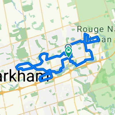
Randonneur Brevet - Scugog Circle - 200 k
A cycling route starting in Markham, Ontario, Canada.
Overview
About this route
- -:--
- Duration
- 206.6 km
- Distance
- 872 m
- Ascent
- 838 m
- Descent
- ---
- Avg. speed
- 360 m
- Max. altitude
Route quality
Waytypes & surfaces along the route
Waytypes
Quiet road
64.1 km
(31 %)
Road
28.9 km
(14 %)
Surfaces
Paved
107.4 km
(52 %)
Unpaved
2.1 km
(1 %)
Asphalt
95 km
(46 %)
Paved (undefined)
12.4 km
(6 %)
Route highlights
Points of interest along the route
Point of interest after 0 km
Tim Horton's START
Point of interest after 49.9 km
Leaskdale - CONTROL
Point of interest after 96.9 km
Restaurant, General Store - CONTROL
Point of interest after 132.4 km
Balackstock General Store - CONTROL
Point of interest after 147.2 km
General Store
Point of interest after 170.1 km
Reach Convenience - CONTROL
Continue with Bikemap
Use, edit, or download this cycling route
You would like to ride Randonneur Brevet - Scugog Circle - 200 k or customize it for your own trip? Here is what you can do with this Bikemap route:
Free features
- Save this route as favorite or in collections
- Copy & plan your own version of this route
- Split it into stages to create a multi-day tour
- Sync your route with Garmin or Wahoo
Premium features
Free trial for 3 days, or one-time payment. More about Bikemap Premium.
- Navigate this route on iOS & Android
- Export a GPX / KML file of this route
- Create your custom printout (try it for free)
- Download this route for offline navigation
Discover more Premium features.
Get Bikemap PremiumFrom our community
Other popular routes starting in Markham
 35Km - N. Warden till Aurora, S. Kennedy
- Distance
- 33.3 km
- Ascent
- 208 m
- Descent
- 208 m
- Location
- Markham, Ontario, Canada
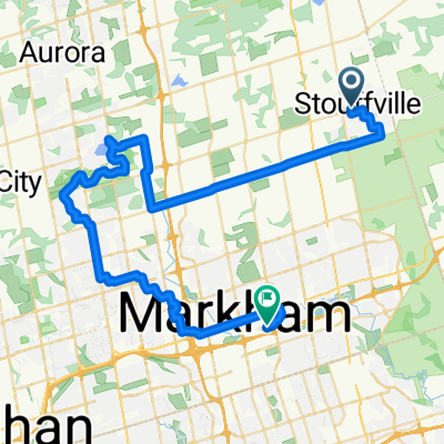
 Stouffville to Unionville Via Lake Wilcox and Oak Ridges Trail
- Distance
- 55.8 km
- Ascent
- 253 m
- Descent
- 350 m
- Location
- Markham, Ontario, Canada
 Riviera Drive to Guildwood Parkway
- Distance
- 38.8 km
- Ascent
- 258 m
- Descent
- 324 m
- Location
- Markham, Ontario, Canada
 Randonneur Brevet - Scugog Circle - 200 k
- Distance
- 206.6 km
- Ascent
- 872 m
- Descent
- 838 m
- Location
- Markham, Ontario, Canada
 Journey for Hope 40 km
- Distance
- 39.7 km
- Ascent
- 170 m
- Descent
- 170 m
- Location
- Markham, Ontario, Canada
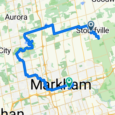
 Stouffville to Unionville Via Lake Wilcox and Oak Ridges Trail
- Distance
- 57.4 km
- Ascent
- 257 m
- Descent
- 354 m
- Location
- Markham, Ontario, Canada
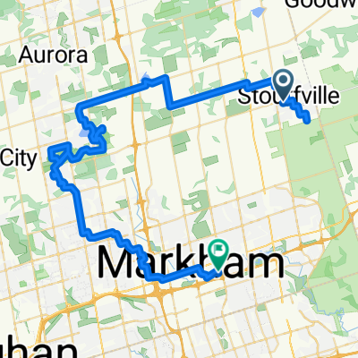
 Stouffville to Unionville Via Lake Wilcox and Oak Ridges Trail
- Distance
- 62.6 km
- Ascent
- 284 m
- Descent
- 382 m
- Location
- Markham, Ontario, Canada
 Stouffville to Unionville Via Lake Wilcox and Oak Ridges Trail
- Distance
- 67.7 km
- Ascent
- 317 m
- Descent
- 412 m
- Location
- Markham, Ontario, Canada
Open it in the app