

ORIENTE BIKE
A cycling route starting in Puerto Francisco de Orellana, Orellana Province, Ecuador.
Overview
About this route
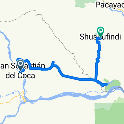
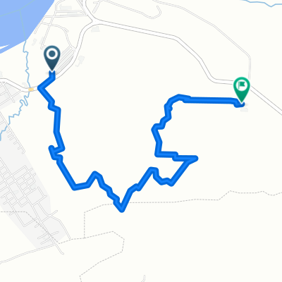
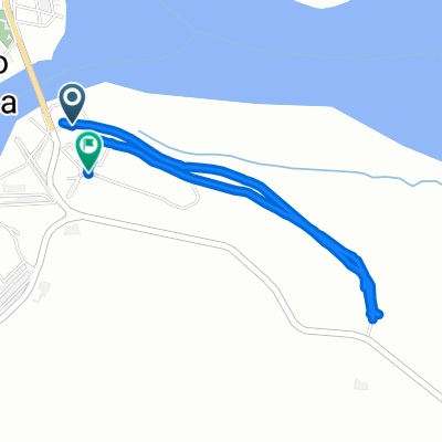
This route connects San Sebastian del Coca with the parish of El Eno. It traverses the jungle visiting several locations inside it. Then, it runs along the north of the normal route Jivino Verde-Shushufinfi. It finishes at the cemetery and diverts through the Atahualpa sector. Finally, it crosses the Victoria to ultimately conclude at the Laguna de Limoncocha.
- -:--
- Duration
- 136.3 km
- Distance
- 240 m
- Ascent
- 266 m
- Descent
- ---
- Avg. speed
- ---
- Max. altitude

Continue with Bikemap
Use, edit, or download this cycling route
You would like to ride ORIENTE BIKE or customize it for your own trip? Here is what you can do with this Bikemap route:
Free features
- Save this route as favorite or in collections
- Copy & plan your own version of this route
- Split it into stages to create a multi-day tour
- Sync your route with Garmin or Wahoo
Premium features
Free trial for 3 days, or one-time payment. More about Bikemap Premium.
- Navigate this route on iOS & Android
- Export a GPX / KML file of this route
- Create your custom printout (try it for free)
- Download this route for offline navigation
Discover more Premium features.
Get Bikemap PremiumFrom our community
Other popular routes starting in Puerto Francisco de Orellana
 Paseo rápido en Ecuador
- Distance
- 50.3 km
- Ascent
- 322 m
- Descent
- 140 m
- Location
- Puerto Francisco de Orellana, Orellana Province, Ecuador
 oriente bike2
- Distance
- 96.9 km
- Ascent
- 212 m
- Descent
- 228 m
- Location
- Puerto Francisco de Orellana, Orellana Province, Ecuador
 Coca - Pomona (Puyo)
- Distance
- 279.4 km
- Ascent
- 2,199 m
- Descent
- 1,430 m
- Location
- Puerto Francisco de Orellana, Orellana Province, Ecuador
 De G289+MM, Francisco de Orellana a G289+MM, Francisco de Orellana
- Distance
- 31 km
- Ascent
- 103 m
- Descent
- 91 m
- Location
- Puerto Francisco de Orellana, Orellana Province, Ecuador
 lindero brigada
- Distance
- 7.2 km
- Ascent
- 924 m
- Descent
- 927 m
- Location
- Puerto Francisco de Orellana, Orellana Province, Ecuador
 pista
pista- Distance
- 4.8 km
- Ascent
- 456 m
- Descent
- 459 m
- Location
- Puerto Francisco de Orellana, Orellana Province, Ecuador
 De Napo 29-08, Francisco de Orellana a Napo 29-08, Francisco de Orellana
- Distance
- 0.5 km
- Ascent
- 0 m
- Descent
- 0 m
- Location
- Puerto Francisco de Orellana, Orellana Province, Ecuador
 Ruta deportiva en
- Distance
- 5.9 km
- Ascent
- 105 m
- Descent
- 69 m
- Location
- Puerto Francisco de Orellana, Orellana Province, Ecuador
Open it in the app