

3. Etappe - Brno to Tábor - Saturday 28th April
A cycling route starting in Troubsko, South Moravian, Czechia.
Overview
About this route
Start
Hotel Rakovec
Rakovecká 13, 635 00 Brno
+420534001016
Finish
Hotel Dvorak
Hradební 3037, 39001 Tábor
+420381207211
- -:--
- Duration
- 166.7 km
- Distance
- 1,302 m
- Ascent
- 1,106 m
- Descent
- ---
- Avg. speed
- ---
- Max. altitude

Route quality
Waytypes & surfaces along the route
Waytypes
Road
18.3 km
(11 %)
Quiet road
16.7 km
(10 %)
Surfaces
Paved
45 km
(27 %)
Unpaved
5 km
(3 %)
Asphalt
45 km
(27 %)
Unpaved (undefined)
3.3 km
(2 %)
Route highlights
Points of interest along the route
Drinking water after 1.3 km
Drinking water after 1.5 km
Drinking water after 165.9 km
Continue with Bikemap
Use, edit, or download this cycling route
You would like to ride 3. Etappe - Brno to Tábor - Saturday 28th April or customize it for your own trip? Here is what you can do with this Bikemap route:
Free features
- Save this route as favorite or in collections
- Copy & plan your own version of this route
- Split it into stages to create a multi-day tour
- Sync your route with Garmin or Wahoo
Premium features
Free trial for 3 days, or one-time payment. More about Bikemap Premium.
- Navigate this route on iOS & Android
- Export a GPX / KML file of this route
- Create your custom printout (try it for free)
- Download this route for offline navigation
Discover more Premium features.
Get Bikemap PremiumFrom our community
Other popular routes starting in Troubsko
 3. Etappe - Brno to Tábor - Saturday 28th April
- Distance
- 166.7 km
- Ascent
- 1,302 m
- Descent
- 1,106 m
- Location
- Troubsko, South Moravian, Czechia
 to Motodrom from Bystrec
- Distance
- 13.1 km
- Ascent
- 317 m
- Descent
- 298 m
- Location
- Troubsko, South Moravian, Czechia
 Jirkovo utrpeni
- Distance
- 54.3 km
- Ascent
- 695 m
- Descent
- 727 m
- Location
- Troubsko, South Moravian, Czechia
 krtek -silnice omice velká cena
- Distance
- 33.9 km
- Ascent
- 513 m
- Descent
- 501 m
- Location
- Troubsko, South Moravian, Czechia
 26.4.2010 Ztracená cesta
- Distance
- 29.6 km
- Ascent
- 507 m
- Descent
- 505 m
- Location
- Troubsko, South Moravian, Czechia
 Brno - Železná
- Distance
- 256.7 km
- Ascent
- 2,647 m
- Descent
- 2,707 m
- Location
- Troubsko, South Moravian, Czechia
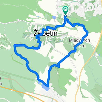 Kolem žebětína
- Distance
- 11.7 km
- Ascent
- 257 m
- Descent
- 259 m
- Location
- Troubsko, South Moravian, Czechia
 Bílý potok
- Distance
- 54.6 km
- Ascent
- 948 m
- Descent
- 1,004 m
- Location
- Troubsko, South Moravian, Czechia
Open it in the app