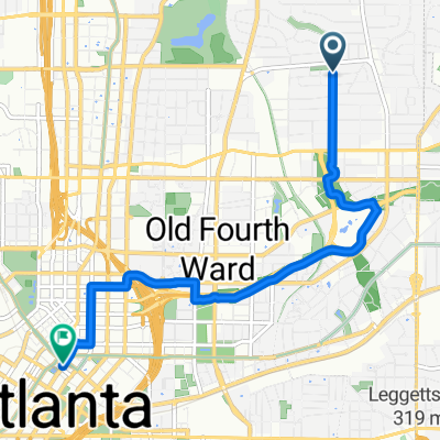
De Charles Allen Drive, Atlanta a Park Drive Northeast 502, Atlanta
- 4.6 km
- 56 m
- 33 m
- Druid Hills, Georgia, United States
A cycling route starting in Druid Hills, Georgia, United States.
Overview
created this 1 year ago
Route quality
Pedestrian area
4.1 km
(90 %)
Path
0.3 km
(6 %)
Cycleway
0.2 km
(4 %)
Paved
3.6 km
(79 %)
Unpaved
0.2 km
(5 %)
Asphalt
1.8 km
(39 %)
Concrete
1.3 km
(28 %)
Continue with Bikemap
You would like to ride De Charles Allen Drive, Atlanta a Park Drive Northeast 502, Atlanta or customize it for your own trip? Here is what you can do with this Bikemap route:
Free trial for 3 days, or one-time payment. More about Bikemap Premium.
Discover more Premium features.
Get Bikemap PremiumFrom our community
Open it in the app


![Atlanta Beltline [interim]](https://media.bikemap.net/routes/11694787/staticmaps/in_97c753dd-27a0-4966-8570-0300cdff9ff7_400x400_bikemap-2021-3D-static.png)