Südfrankreich 2011: 8 - Florac - Alès über Corniche des Cévennes
A cycling route starting in Florac, Occitanie, France.
Overview
About this route
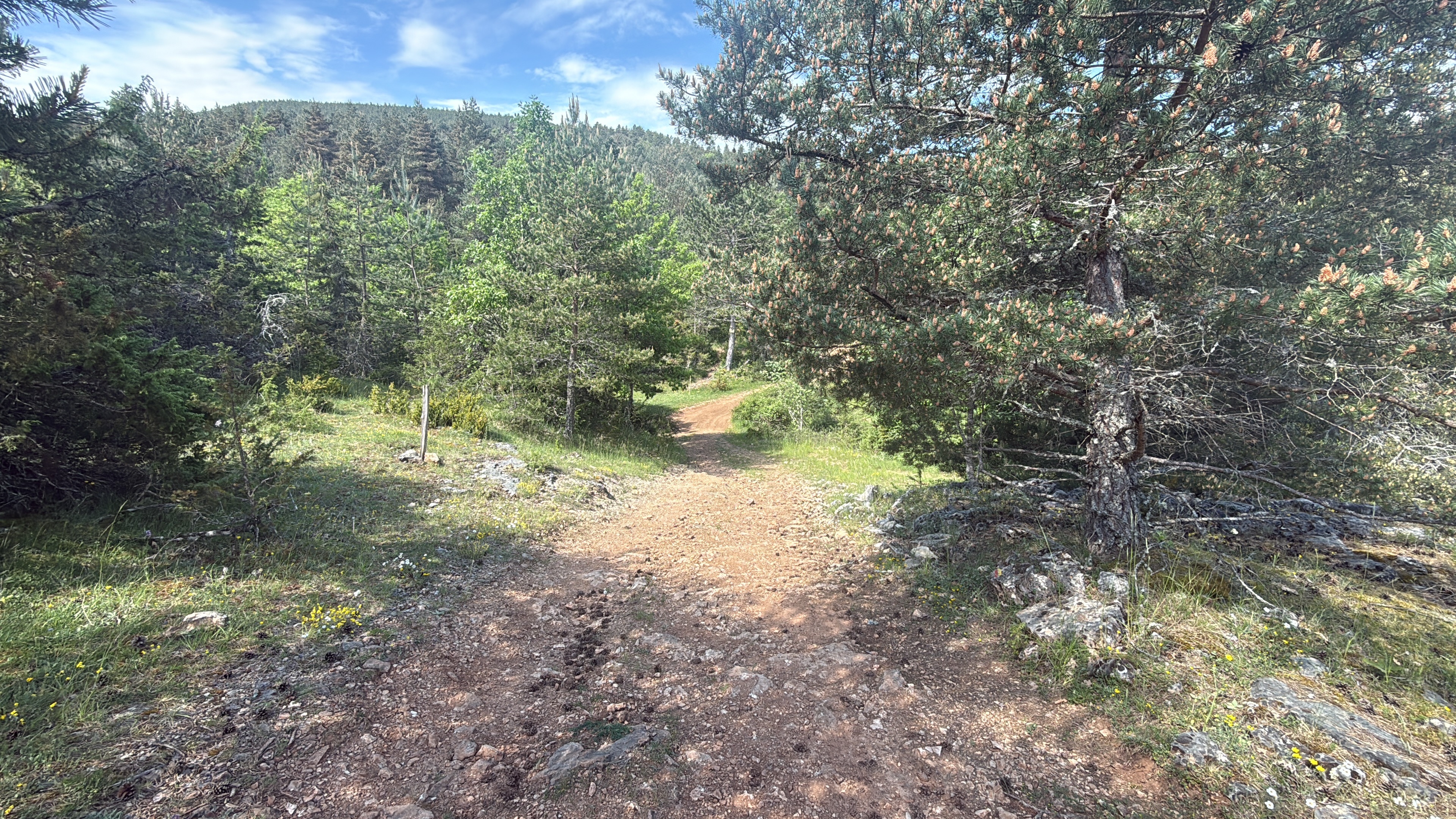
Steep ascent from the Tarn Valley to the Col des Faisses (very hard). On the Corniche des Cévennes, there are hardly any more climbs, followed by a long descent to St. Jean du Gard. Very scenic, with beautiful views.
- -:--
- Duration
- 96.1 km
- Distance
- 904 m
- Ascent
- 1,310 m
- Descent
- ---
- Avg. speed
- ---
- Max. altitude
Route quality
Waytypes & surfaces along the route
Waytypes
Track
6.7 km
(7 %)
Road
2.9 km
(3 %)
Surfaces
Paved
54.8 km
(57 %)
Unpaved
6.7 km
(7 %)
Asphalt
52.8 km
(55 %)
Gravel
6.7 km
(7 %)
Continue with Bikemap
Use, edit, or download this cycling route
You would like to ride Südfrankreich 2011: 8 - Florac - Alès über Corniche des Cévennes or customize it for your own trip? Here is what you can do with this Bikemap route:
Free features
- Save this route as favorite or in collections
- Copy & plan your own version of this route
- Split it into stages to create a multi-day tour
- Sync your route with Garmin or Wahoo
Premium features
Free trial for 3 days, or one-time payment. More about Bikemap Premium.
- Navigate this route on iOS & Android
- Export a GPX / KML file of this route
- Create your custom printout (try it for free)
- Download this route for offline navigation
Discover more Premium features.
Get Bikemap PremiumFrom our community
Other popular routes starting in Florac
- 2016 Ride Day 160 - Ispagnac to Rivière-sur-Tarn
- Distance
- 64.3 km
- Ascent
- 789 m
- Descent
- 935 m
- Location
- Florac, Occitanie, France
- Südfrankreich 2011: 8 - Florac - Alès über Corniche des Cévennes
- Distance
- 96.1 km
- Ascent
- 904 m
- Descent
- 1,310 m
- Location
- Florac, Occitanie, France
- Etape 11 - Bédouès à Pradons - 93,4km 1010D+
- Distance
- 93.4 km
- Ascent
- 790 m
- Descent
- 1,225 m
- Location
- Florac, Occitanie, France
- Barre de Cevennes - Col de Finiels
- Distance
- 41.7 km
- Ascent
- 1,223 m
- Descent
- 622 m
- Location
- Florac, Occitanie, France
- Tour du mont Lozère
- Distance
- 91.4 km
- Ascent
- 1,617 m
- Descent
- 1,617 m
- Location
- Florac, Occitanie, France
- Sept2021 - 3/5bis
- Distance
- 146 km
- Ascent
- 2,642 m
- Descent
- 2,634 m
- Location
- Florac, Occitanie, France
- LOZERE -TARN - 104 KM - mt aigoual
- Distance
- 103.3 km
- Ascent
- 1,412 m
- Descent
- 1,417 m
- Location
- Florac, Occitanie, France
- Florac la Malene
- Distance
- 96.3 km
- Ascent
- 1,000 m
- Descent
- 996 m
- Location
- Florac, Occitanie, France
Open it in the app