

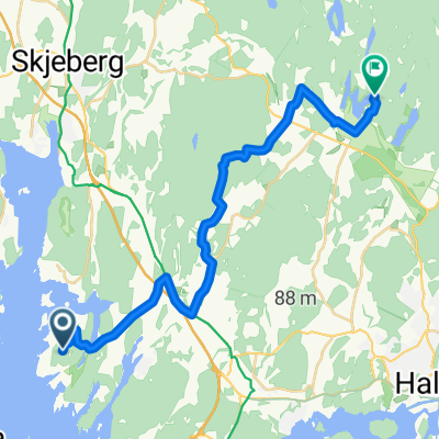
Hykkelen fyr til Soli brug via Sarpsborgs 11 naturreservater
A cycling route starting in Skjeberg, Østfold, Norway.
Overview
About this route
1 km: Hansemakerkilen
11 km: Jørstadmyra
14 km: Skjebergkilen
29 km: Sarpsborg sentrum (lunsj)
33 km: Vestvannet
45 km: Sagåsen og Stueåsen
49 km: Asbjørnåsen
58 km: Bråneåsen
65 km: Ågårdselva
71 km: Desiderialunden
72 km: Skinnerflo
75 km: Solgårdhavna (middag)
- 5 h 11 min
- Duration
- 74.5 km
- Distance
- 1,270 m
- Ascent
- 1,261 m
- Descent
- 14.4 km/h
- Avg. speed
- 182 m
- Max. altitude

Route quality
Waytypes & surfaces along the route
Waytypes
Quiet road
19.4 km
(26 %)
Track
11.2 km
(15 %)
Surfaces
Paved
27.6 km
(37 %)
Unpaved
17.1 km
(23 %)
Asphalt
27.6 km
(37 %)
Gravel
11.9 km
(16 %)
Continue with Bikemap
Use, edit, or download this cycling route
You would like to ride Hykkelen fyr til Soli brug via Sarpsborgs 11 naturreservater or customize it for your own trip? Here is what you can do with this Bikemap route:
Free features
- Save this route as favorite or in collections
- Copy & plan your own version of this route
- Sync your route with Garmin or Wahoo
Premium features
Free trial for 3 days, or one-time payment. More about Bikemap Premium.
- Navigate this route on iOS & Android
- Export a GPX / KML file of this route
- Create your custom printout (try it for free)
- Download this route for offline navigation
Discover more Premium features.
Get Bikemap PremiumFrom our community
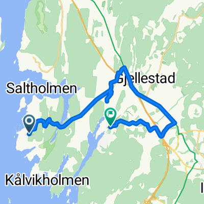
Other popular routes starting in Skjeberg
 Til Rokkeskogen grus
- Distance
- 20.1 km
- Ascent
- 275 m
- Descent
- 193 m
- Location
- Skjeberg, Østfold, Norway
 Hykkelen fyr til Soli brug via Sarpsborgs 11 naturreservater
- Distance
- 74.5 km
- Ascent
- 1,270 m
- Descent
- 1,261 m
- Location
- Skjeberg, Østfold, Norway
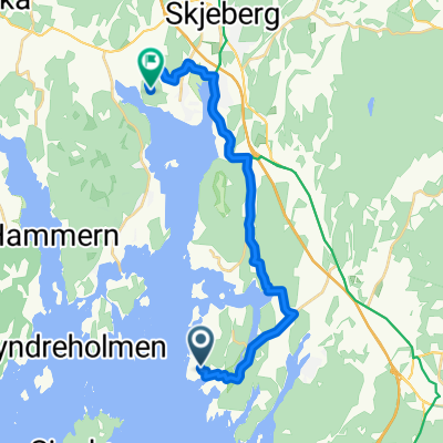
 Route in Skjeberg
- Distance
- 12.7 km
- Ascent
- 135 m
- Descent
- 149 m
- Location
- Skjeberg, Østfold, Norway
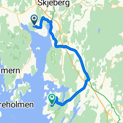
 Til Høsand MTB
- Distance
- 14.7 km
- Ascent
- 236 m
- Descent
- 238 m
- Location
- Skjeberg, Østfold, Norway
 Høysand-hytta RB
- Distance
- 14.7 km
- Ascent
- 205 m
- Descent
- 209 m
- Location
- Skjeberg, Østfold, Norway
 Hundeluft Grimsen kort
- Distance
- 1.1 km
- Ascent
- 4 m
- Descent
- 4 m
- Location
- Skjeberg, Østfold, Norway
 Halden via Berg og kyststien
- Distance
- 15.5 km
- Ascent
- 146 m
- Descent
- 162 m
- Location
- Skjeberg, Østfold, Norway
 Sandbakken til Lökholmen
- Distance
- 43.7 km
- Ascent
- 678 m
- Descent
- 737 m
- Location
- Skjeberg, Østfold, Norway
Open it in the app