Zist Budapest 2.1 Teil 1
- 102.5 km
- 127 m
- 197 m
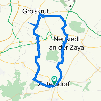
- Zistersdorf, Lower Austria, Austria
A cycling route starting in Zistersdorf, Lower Austria, Austria.
Overview
Zeitfahrstrecke im Rahmen des Wein4tel-Cups - Strecke ist so zu befahren, dass zum Ausgangspunkt zurückgekehrt wird.
created this 13 years ago
Route quality
Road
5.8 km
(29 %)
Undefined
14.3 km
(71 %)
Continue with Bikemap
You would like to ride Wein4tel-Cup > Hochstraße or customize it for your own trip? Here is what you can do with this Bikemap route:
Free trial for 3 days, or one-time payment. More about Bikemap Premium.
Discover more Premium features.
Get Bikemap PremiumFrom our community
Open it in the app