

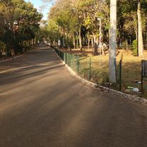
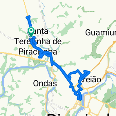
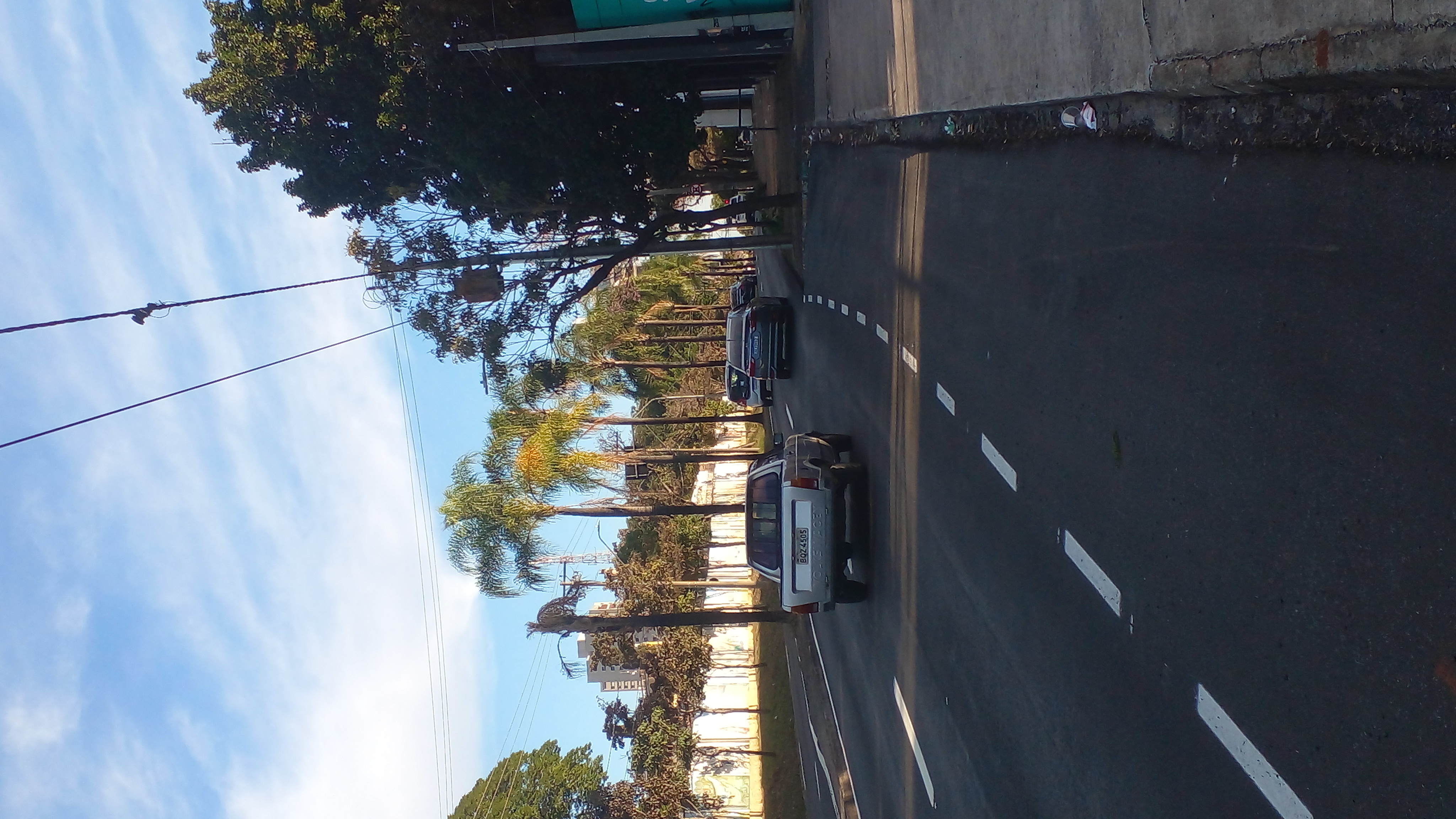
Trilha Artemis
A cycling route starting in Piracicaba, São Paulo, Brazil.
Overview
About this route
- -:--
- Duration
- 47.1 km
- Distance
- 452 m
- Ascent
- 454 m
- Descent
- ---
- Avg. speed
- ---
- Max. altitude

Continue with Bikemap
Use, edit, or download this cycling route
You would like to ride Trilha Artemis or customize it for your own trip? Here is what you can do with this Bikemap route:
Free features
- Save this route as favorite or in collections
- Copy & plan your own version of this route
- Sync your route with Garmin or Wahoo
Premium features
Free trial for 3 days, or one-time payment. More about Bikemap Premium.
- Navigate this route on iOS & Android
- Export a GPX / KML file of this route
- Create your custom printout (try it for free)
- Download this route for offline navigation
Discover more Premium features.
Get Bikemap PremiumFrom our community
Other popular routes starting in Piracicaba
 Bom Rota relaxada
- Distance
- 35.6 km
- Ascent
- 167 m
- Descent
- 170 m
- Location
- Piracicaba, São Paulo, Brazil
 Rota moderada
- Distance
- 42.3 km
- Ascent
- 135 m
- Descent
- 124 m
- Location
- Piracicaba, São Paulo, Brazil
 De Avenida Cruzeiro do Sul 593 a Avenida Cruzeiro do Sul 3206
- Distance
- 8.2 km
- Ascent
- 3 m
- Descent
- 0 m
- Location
- Piracicaba, São Paulo, Brazil
 Bicicleta
- Distance
- 25.3 km
- Ascent
- 194 m
- Descent
- 170 m
- Location
- Piracicaba, São Paulo, Brazil
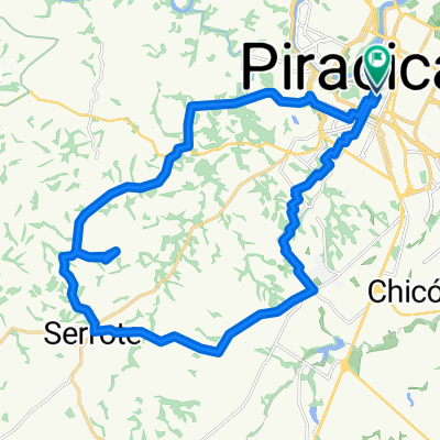 serrote
- Distance
- 36 km
- Ascent
- 496 m
- Descent
- 497 m
- Location
- Piracicaba, São Paulo, Brazil
 De Rua Professor João Fioravante Pecorari 153 a Rua Professor João Fioravante Pecorari 155
- Distance
- 18 km
- Ascent
- 36 m
- Descent
- 35 m
- Location
- Piracicaba, São Paulo, Brazil
 De Rua Oliverio Porta a Rua Oliverio Porta
- Distance
- 41.7 km
- Ascent
- 191 m
- Descent
- 168 m
- Location
- Piracicaba, São Paulo, Brazil
 PIRA/HORTO/PIRA
- Distance
- 31.7 km
- Ascent
- 356 m
- Descent
- 358 m
- Location
- Piracicaba, São Paulo, Brazil
Open it in the app