

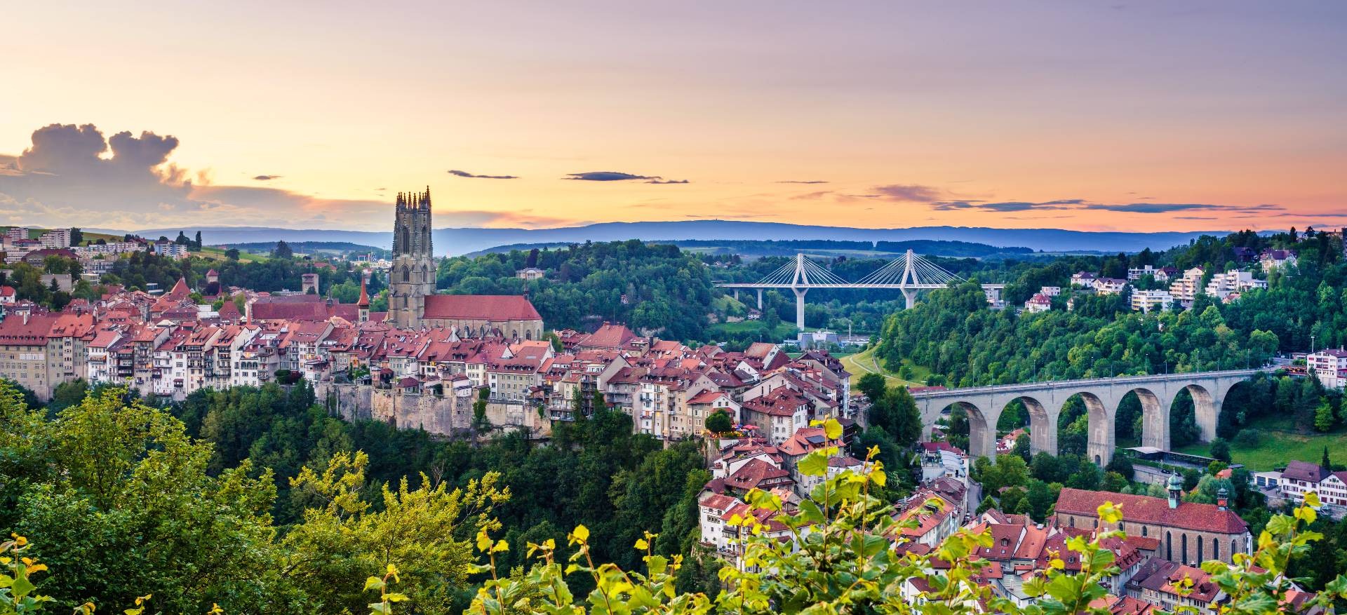
Round the Moléson
A cycling route starting in Gruyères, Canton of Fribourg, Switzerland.
Overview
About this route
A nice adventure with various sections and beautiful landscapes.
- -:--
- Duration
- 83.4 km
- Distance
- 4,271 m
- Ascent
- 4,268 m
- Descent
- ---
- Avg. speed
- 1,540 m
- Max. altitude

Route quality
Waytypes & surfaces along the route
Waytypes
Track
36.7 km
(44 %)
Quiet road
28.3 km
(34 %)
Surfaces
Paved
26.7 km
(32 %)
Unpaved
25.8 km
(31 %)
Paved (undefined)
15 km
(18 %)
Asphalt
11.7 km
(14 %)
Continue with Bikemap
Use, edit, or download this cycling route
You would like to ride Round the Moléson or customize it for your own trip? Here is what you can do with this Bikemap route:
Free features
- Save this route as favorite or in collections
- Copy & plan your own version of this route
- Split it into stages to create a multi-day tour
- Sync your route with Garmin or Wahoo
Premium features
Free trial for 3 days, or one-time payment. More about Bikemap Premium.
- Navigate this route on iOS & Android
- Export a GPX / KML file of this route
- Create your custom printout (try it for free)
- Download this route for offline navigation
Discover more Premium features.
Get Bikemap PremiumFrom our community
Other popular routes starting in Gruyères
 Round the Moléson
- Distance
- 83.4 km
- Ascent
- 4,271 m
- Descent
- 4,268 m
- Location
- Gruyères, Canton of Fribourg, Switzerland
 OPEN BIKE HAUTE GRUYERES
- Distance
- 46.9 km
- Ascent
- 1,605 m
- Descent
- 1,607 m
- Location
- Gruyères, Canton of Fribourg, Switzerland
 Switzerland-German day 9
- Distance
- 56.6 km
- Ascent
- 302 m
- Descent
- 644 m
- Location
- Gruyères, Canton of Fribourg, Switzerland
 Greyerz-Grindelwald
- Distance
- 107.2 km
- Ascent
- 1,367 m
- Descent
- 1,111 m
- Location
- Gruyères, Canton of Fribourg, Switzerland
 Tour de Gruyere 2019 XL
- Distance
- 143.9 km
- Ascent
- 2,260 m
- Descent
- 2,260 m
- Location
- Gruyères, Canton of Fribourg, Switzerland
 Alpine Route: Gruyère - Thun
- Distance
- 84.6 km
- Ascent
- 680 m
- Descent
- 882 m
- Location
- Gruyères, Canton of Fribourg, Switzerland
 Gruyères to Bern via Fribourg
- Distance
- 78.6 km
- Ascent
- 1,219 m
- Descent
- 1,515 m
- Location
- Gruyères, Canton of Fribourg, Switzerland
 Monster Moleson-Panorama 2 by mnh
- Distance
- 34.2 km
- Ascent
- 1,026 m
- Descent
- 1,025 m
- Location
- Gruyères, Canton of Fribourg, Switzerland
Open it in the app