
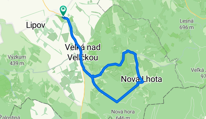
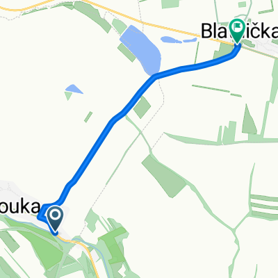
Lhotky
A cycling route starting in Louka, South Moravian, Czechia.
Overview
About this route
The more information you write here, the more useful it will be for other users.* Route progression.* What is special about this route?* Why recommend this route?* What did you like most here?* etc.
- -:--
- Duration
- 27.6 km
- Distance
- 302 m
- Ascent
- 302 m
- Descent
- ---
- Avg. speed
- ---
- Max. altitude
Route quality
Waytypes & surfaces along the route
Waytypes
Road
11.3 km
(41 %)
Track
3.6 km
(13 %)
Surfaces
Paved
15.4 km
(56 %)
Unpaved
1.4 km
(5 %)
Asphalt
13.2 km
(48 %)
Paved (undefined)
2.2 km
(8 %)
Continue with Bikemap
Use, edit, or download this cycling route
You would like to ride Lhotky or customize it for your own trip? Here is what you can do with this Bikemap route:
Free features
- Save this route as favorite or in collections
- Copy & plan your own version of this route
- Sync your route with Garmin or Wahoo
Premium features
Free trial for 3 days, or one-time payment. More about Bikemap Premium.
- Navigate this route on iOS & Android
- Export a GPX / KML file of this route
- Create your custom printout (try it for free)
- Download this route for offline navigation
Discover more Premium features.
Get Bikemap PremiumFrom our community
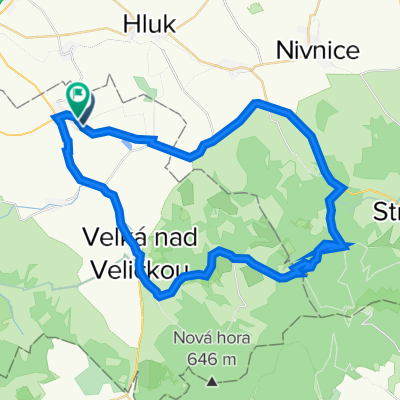
Other popular routes starting in Louka
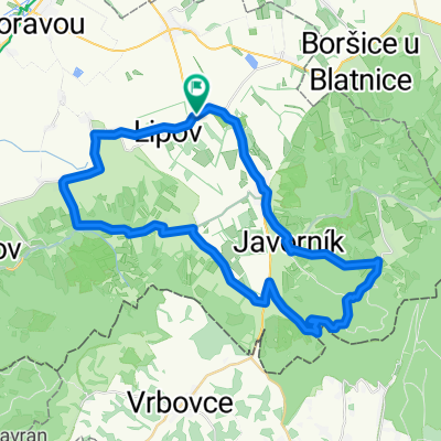 Větší Horňácký okruh
- Distance
- 43.8 km
- Ascent
- 762 m
- Descent
- 762 m
- Location
- Louka, South Moravian, Czechia
 Horňácký polodrtič - Lipovská šlapka
- Distance
- 66.6 km
- Ascent
- 1,007 m
- Descent
- 1,011 m
- Location
- Louka, South Moravian, Czechia
 Ječmínek
- Distance
- 30.6 km
- Ascent
- 291 m
- Descent
- 276 m
- Location
- Louka, South Moravian, Czechia
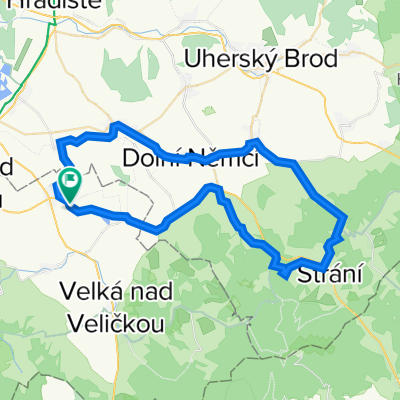 Svatý Antonínek
- Distance
- 54.6 km
- Ascent
- 889 m
- Descent
- 891 m
- Location
- Louka, South Moravian, Czechia
 Blatnice - Kamenná bůda
- Distance
- 48.3 km
- Ascent
- 695 m
- Descent
- 698 m
- Location
- Louka, South Moravian, Czechia
 Kuželov
- Distance
- 11.1 km
- Ascent
- 152 m
- Descent
- 18 m
- Location
- Louka, South Moravian, Czechia
 Blatnička
- Distance
- 4 km
- Ascent
- 49 m
- Descent
- 43 m
- Location
- Louka, South Moravian, Czechia
 Horňácká dvacítka
- Distance
- 19.5 km
- Ascent
- 144 m
- Descent
- 147 m
- Location
- Louka, South Moravian, Czechia
Open it in the app