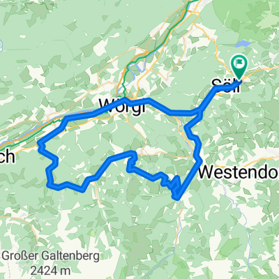
Söll Hintersteinersee ca 40km

A cycling route starting in Söll, Tyrol, Austria.
OverviewAbout this route
3 h 14 min
Duration
39.8 km
Distance
1,262 m
Ascent
1,256 m
Descent
12.3 km/h
Avg. speed
1,160 m
Max. altitude
Stefaniecreated this 1 year ago
Route qualityWaytypes & surfaces along the route
Waytypes
  • Quiet road

    16.7 km42 %
  • Track

    13.1 km33 %
  • Access road

    6.4 km16 %
Surfaces

Paved

23.5 km(59 %)

Unpaved

13.9 km(35 %)
  • Asphalt

    23.5 km59 %
  • Gravel

    11.9 km30 %
  • Ground

    1.2 km3 %
Continue with BikemapUse, edit, or download this cycling route
You would like to ride Söll Hintersteinersee ca 40km or customize it for your own trip? Here is what you can do with this Bikemap route:
Free features
Premium features

Free trial for 3 days, or one-time payment. More about Bikemap Premium.

  • Navigate this route on iOS & Android
  • Export a GPX / KML file of this route
  • Create your custom printout (try it for free)
  • Download this route for offline navigation

Discover more Premium features.

Get Bikemap Premium
From our communityOther popular routes starting in Söll

Open it in the app