
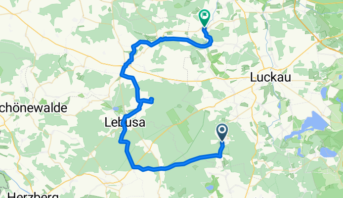
Zur Dahmequelle
A cycling route starting in Sonnewalde, Brandenburg, Germany.
Overview
About this route
Station to station
Small roads or dedicated bike paths,
300 m natural surface (to the spring)
Suitable for touring bikes
- -:--
- Duration
- 55.4 km
- Distance
- 161 m
- Ascent
- 216 m
- Descent
- ---
- Avg. speed
- ---
- Max. altitude
Route quality
Waytypes & surfaces along the route
Waytypes
Quiet road
15.5 km
(28 %)
Track
14.4 km
(26 %)
Surfaces
Paved
38.2 km
(69 %)
Unpaved
12.2 km
(22 %)
Asphalt
37.6 km
(68 %)
Unpaved (undefined)
4.4 km
(8 %)
Route highlights
Points of interest along the route
Point of interest after 16.1 km
Restaurant
Point of interest after 20 km
Rast
Point of interest after 25.8 km
Restaurant
Point of interest after 28.6 km
Quelle
Point of interest after 37.3 km
Café
Continue with Bikemap
Use, edit, or download this cycling route
You would like to ride Zur Dahmequelle or customize it for your own trip? Here is what you can do with this Bikemap route:
Free features
- Save this route as favorite or in collections
- Copy & plan your own version of this route
- Sync your route with Garmin or Wahoo
Premium features
Free trial for 3 days, or one-time payment. More about Bikemap Premium.
- Navigate this route on iOS & Android
- Export a GPX / KML file of this route
- Create your custom printout (try it for free)
- Download this route for offline navigation
Discover more Premium features.
Get Bikemap PremiumFrom our community
Other popular routes starting in Sonnewalde
 Foto-POIs Luckauer Land
- Distance
- 0.3 km
- Ascent
- 12 m
- Descent
- 0 m
- Location
- Sonnewalde, Brandenburg, Germany
 Walddrehna Einzelzeitfahren CLONED FROM ROUTE 1563011
- Distance
- 18.6 km
- Ascent
- 122 m
- Descent
- 119 m
- Location
- Sonnewalde, Brandenburg, Germany
 28er MTB WDR-Runde
- Distance
- 27.7 km
- Ascent
- 319 m
- Descent
- 319 m
- Location
- Sonnewalde, Brandenburg, Germany
 Schloss Lilliput Herzberg/Elster
- Distance
- 37.9 km
- Ascent
- 115 m
- Descent
- 148 m
- Location
- Sonnewalde, Brandenburg, Germany
 Route zum Schlabendorfer See
- Distance
- 48.8 km
- Ascent
- 28 m
- Descent
- 141 m
- Location
- Sonnewalde, Brandenburg, Germany
 Durch die Heide
- Distance
- 47.5 km
- Ascent
- 118 m
- Descent
- 149 m
- Location
- Sonnewalde, Brandenburg, Germany
 Zur Dahmequelle
- Distance
- 55.4 km
- Ascent
- 161 m
- Descent
- 216 m
- Location
- Sonnewalde, Brandenburg, Germany
 Durch die Niederlausitzer Heide 3
- Distance
- 37.7 km
- Ascent
- 62 m
- Descent
- 83 m
- Location
- Sonnewalde, Brandenburg, Germany
Open it in the app