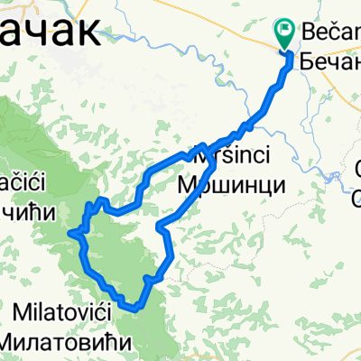
Cacak-Srezojeci-Kostunici-Miokovci-Cacak
- 66.2 km
- 567 m
- 565 m
- Čačak, Central Serbia, Serbia
A cycling route starting in Čačak, Central Serbia, Serbia.
Overview
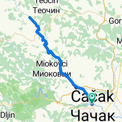
Cacak, from the dam at Parmenc, then via Kamenica to the dam at Medjuvrsje, then on the transversal to Runela, then to Vidova and back via Prijevor. Partly asphalt, partly forest roads.
created this 13 years ago
Continue with Bikemap
You would like to ride Transverzala or customize it for your own trip? Here is what you can do with this Bikemap route:
Free trial for 3 days, or one-time payment. More about Bikemap Premium.
Discover more Premium features.
Get Bikemap PremiumFrom our community
Open it in the app