

da Braulis SP 36, Trasaghis a SP 36, Trasaghis
A cycling route starting in Trasaghis, Friuli Venezia Giulia, Italy.
Overview
About this route
- 3 h 44 min
- Duration
- 41.8 km
- Distance
- 491 m
- Ascent
- 497 m
- Descent
- 11.2 km/h
- Avg. speed
- 386 m
- Max. altitude
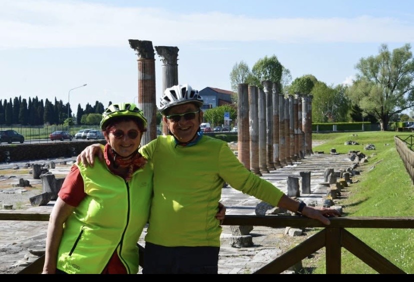
Route photos


Route quality
Waytypes & surfaces along the route
Waytypes
Road
14.6 km
(35 %)
Track
10 km
(24 %)
Surfaces
Paved
15.5 km
(37 %)
Unpaved
6.3 km
(15 %)
Asphalt
15.5 km
(37 %)
Unpaved (undefined)
4.2 km
(10 %)
Continue with Bikemap
Use, edit, or download this cycling route
You would like to ride da Braulis SP 36, Trasaghis a SP 36, Trasaghis or customize it for your own trip? Here is what you can do with this Bikemap route:
Free features
- Save this route as favorite or in collections
- Copy & plan your own version of this route
- Sync your route with Garmin or Wahoo
Premium features
Free trial for 3 days, or one-time payment. More about Bikemap Premium.
- Navigate this route on iOS & Android
- Export a GPX / KML file of this route
- Create your custom printout (try it for free)
- Download this route for offline navigation
Discover more Premium features.
Get Bikemap PremiumFrom our community
Other popular routes starting in Trasaghis
 Alesso Pozzis
- Distance
- 47.3 km
- Ascent
- 1,243 m
- Descent
- 1,242 m
- Location
- Trasaghis, Friuli Venezia Giulia, Italy
 da Braulis SP 36, Trasaghis a SP 36, Trasaghis
- Distance
- 41.8 km
- Ascent
- 491 m
- Descent
- 497 m
- Location
- Trasaghis, Friuli Venezia Giulia, Italy
 20160817_111122.gpx
- Distance
- 30.8 km
- Ascent
- 201 m
- Descent
- 205 m
- Location
- Trasaghis, Friuli Venezia Giulia, Italy
 Piazza 6 Maggio 1976 4, Trasaghis nach Via Griffen 4, Trasaghis
- Distance
- 64.1 km
- Ascent
- 3,169 m
- Descent
- 3,171 m
- Location
- Trasaghis, Friuli Venezia Giulia, Italy
 Avasins Val D'Aupa Avasins
- Distance
- 100.1 km
- Ascent
- 947 m
- Descent
- 940 m
- Location
- Trasaghis, Friuli Venezia Giulia, Italy
 Recovered Route
- Distance
- 41.8 km
- Ascent
- 491 m
- Descent
- 497 m
- Location
- Trasaghis, Friuli Venezia Giulia, Italy
 Venzone - Sella Chianzutan 78
- Distance
- 78.2 km
- Ascent
- 2,795 m
- Descent
- 2,795 m
- Location
- Trasaghis, Friuli Venezia Giulia, Italy
 Giro malghe da Avasinis
- Distance
- 40.4 km
- Ascent
- 1,303 m
- Descent
- 1,301 m
- Location
- Trasaghis, Friuli Venezia Giulia, Italy
Open it in the app