Recovered Route
A cycling route starting in Trasaghis, Friuli Venezia Giulia, Italy.
Overview
About this route
- 3 h 44 min
- Duration
- 41.8 km
- Distance
- 491 m
- Ascent
- 497 m
- Descent
- 11.2 km/h
- Avg. speed
- 386 m
- Max. altitude
Route quality
Waytypes & surfaces along the route
Waytypes
Road
14.6 km
(35 %)
Track
10 km
(24 %)
Surfaces
Paved
15.5 km
(37 %)
Unpaved
6.3 km
(15 %)
Asphalt
15.5 km
(37 %)
Unpaved (undefined)
4.2 km
(10 %)
Continue with Bikemap
Use, edit, or download this cycling route
You would like to ride Recovered Route or customize it for your own trip? Here is what you can do with this Bikemap route:
Free features
- Save this route as favorite or in collections
- Copy & plan your own version of this route
- Sync your route with Garmin or Wahoo
Premium features
Free trial for 3 days, or one-time payment. More about Bikemap Premium.
- Navigate this route on iOS & Android
- Export a GPX / KML file of this route
- Create your custom printout (try it for free)
- Download this route for offline navigation
Discover more Premium features.
Get Bikemap PremiumFrom our community
Other popular routes starting in Trasaghis
Monte Cuar- Distance
- 30.8 km
- Ascent
- 919 m
- Descent
- 919 m
- Location
- Trasaghis, Friuli Venezia Giulia, Italy
Giro malghe da Avasinis- Distance
- 40.4 km
- Ascent
- 1,303 m
- Descent
- 1,301 m
- Location
- Trasaghis, Friuli Venezia Giulia, Italy
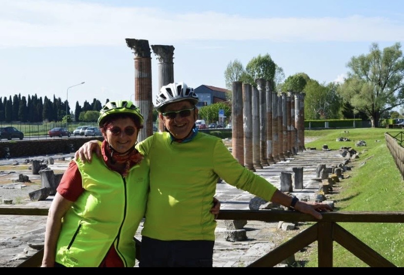
Venzone - Sella Chianzutan 78- Distance
- 78.2 km
- Ascent
- 2,795 m
- Descent
- 2,795 m
- Location
- Trasaghis, Friuli Venezia Giulia, Italy
Piazza 6 Maggio 1976 4, Trasaghis nach Via Griffen 4, Trasaghis- Distance
- 64.1 km
- Ascent
- 3,169 m
- Descent
- 3,171 m
- Location
- Trasaghis, Friuli Venezia Giulia, Italy
Recovered Route- Distance
- 41.8 km
- Ascent
- 491 m
- Descent
- 497 m
- Location
- Trasaghis, Friuli Venezia Giulia, Italy
da Braulis SP 36, Trasaghis a SP 36, Trasaghis- Distance
- 41.8 km
- Ascent
- 491 m
- Descent
- 497 m
- Location
- Trasaghis, Friuli Venezia Giulia, Italy
Gemona- Distance
- 62.5 km
- Ascent
- 599 m
- Descent
- 600 m
- Location
- Trasaghis, Friuli Venezia Giulia, Italy
20160817_111122.gpx- Distance
- 30.8 km
- Ascent
- 201 m
- Descent
- 205 m
- Location
- Trasaghis, Friuli Venezia Giulia, Italy
Open it in the app


