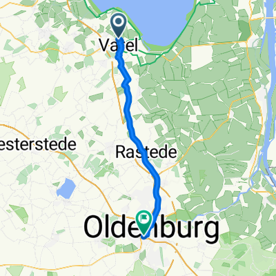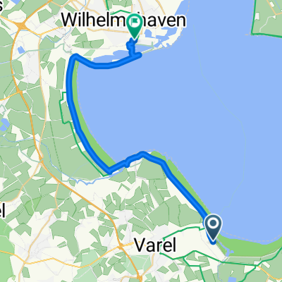
Varel - Wilhelmshaven
- 25.4 km
- 15 m
- 13 m
- Varel, Lower Saxony, Germany
A cycling route starting in Varel, Lower Saxony, Germany.
Overview
created this 16 years ago
Route quality
Path
6.7 km
(25 %)
Road
5.1 km
(19 %)
Paved
20.4 km
(76 %)
Asphalt
20.1 km
(75 %)
Paved (undefined)
0.3 km
(1 %)
Undefined
6.4 km
(24 %)
Continue with Bikemap
You would like to ride Route Dangast Schortens Golf or customize it for your own trip? Here is what you can do with this Bikemap route:
Free trial for 3 days, or one-time payment. More about Bikemap Premium.
Discover more Premium features.
Get Bikemap PremiumFrom our community
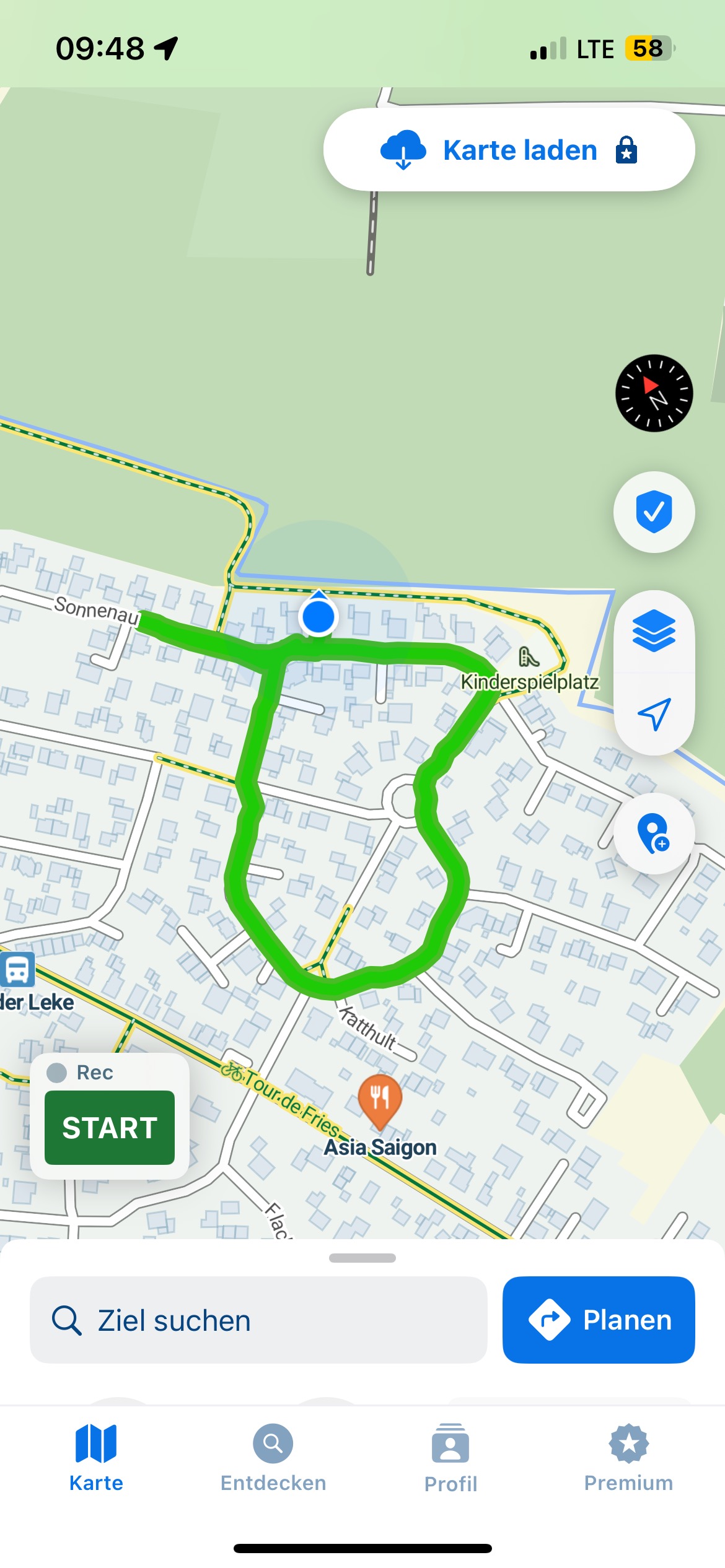
Open it in the app