

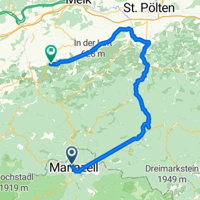
mariazell-dc
A cycling route starting in Mariazell, Styria, Austria.
Overview
About this route
2 stages Mariazell St.Pölten DC
- -:--
- Duration
- 172.9 km
- Distance
- 1,476 m
- Ascent
- 2,176 m
- Descent
- ---
- Avg. speed
- 1,016 m
- Max. altitude

Route photos


Route quality
Waytypes & surfaces along the route
Waytypes
Track
45 km
(26 %)
Quiet road
43.2 km
(25 %)
Surfaces
Paved
138.3 km
(80 %)
Unpaved
6.9 km
(4 %)
Asphalt
136.6 km
(79 %)
Gravel
5.2 km
(3 %)
Continue with Bikemap
Use, edit, or download this cycling route
You would like to ride mariazell-dc or customize it for your own trip? Here is what you can do with this Bikemap route:
Free features
- Save this route as favorite or in collections
- Copy & plan your own version of this route
- Split it into stages to create a multi-day tour
- Sync your route with Garmin or Wahoo
Premium features
Free trial for 3 days, or one-time payment. More about Bikemap Premium.
- Navigate this route on iOS & Android
- Export a GPX / KML file of this route
- Create your custom printout (try it for free)
- Download this route for offline navigation
Discover more Premium features.
Get Bikemap PremiumFrom our community
Other popular routes starting in Mariazell
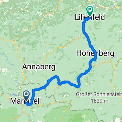 Mariazell nach Lilienfeld
- Distance
- 60 km
- Ascent
- 1,110 m
- Descent
- 1,602 m
- Location
- Mariazell, Styria, Austria
 Maraton 2018
- Distance
- 1,245.4 km
- Ascent
- 3,477 m
- Descent
- 3,651 m
- Location
- Mariazell, Styria, Austria
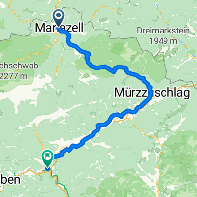 Mariazell - Bruck an der Mur
- Distance
- 93.2 km
- Ascent
- 1,915 m
- Descent
- 2,276 m
- Location
- Mariazell, Styria, Austria
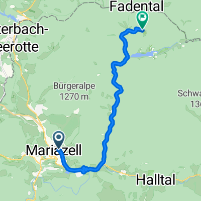 Hauptplatz nach Walstern
- Distance
- 11 km
- Ascent
- 345 m
- Descent
- 362 m
- Location
- Mariazell, Styria, Austria
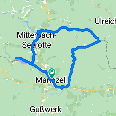 Mariazell - Erlaufsee - Hubertussee - Mariazell
- Distance
- 33.4 km
- Ascent
- 430 m
- Descent
- 428 m
- Location
- Mariazell, Styria, Austria
 mariazell-dc
- Distance
- 172.9 km
- Ascent
- 1,476 m
- Descent
- 2,176 m
- Location
- Mariazell, Styria, Austria
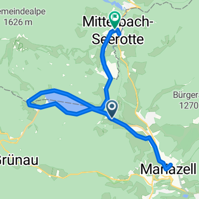 Von Maria Zell rund um den Erlaufsee nach Mitterbach Seegrotte
- Distance
- 25 km
- Ascent
- 337 m
- Descent
- 384 m
- Location
- Mariazell, Styria, Austria
 Traisetalrundweg von Marizell bis Obergrafendorf
- Distance
- 106.2 km
- Ascent
- 533 m
- Descent
- 1,130 m
- Location
- Mariazell, Styria, Austria
Open it in the app