Harburg - Dinkelscherben
- 8.6 km
- 24 m
- 12 m
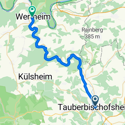
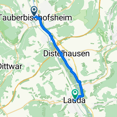
- Tauberbischofsheim, Baden-Wurttemberg, Germany
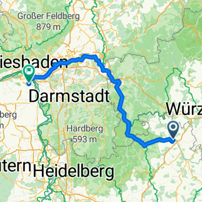
A cycling route starting in Tauberbischofsheim, Baden-Wurttemberg, Germany.
Overview
Attention: The path from Marktheidenfeld to Birkenfeld is freshly graveled and really not fun with the road bike. Better to take the small detour via Karbach,
created this 13 years ago
Route quality
Road
37.6 km
(37 %)
Track
21.4 km
(21 %)
Paved
70.2 km
(69 %)
Unpaved
5.1 km
(5 %)
Asphalt
65.1 km
(64 %)
Paved (undefined)
5.1 km
(5 %)
Continue with Bikemap
You would like to ride TBB Burg Rothenfels u.z. or customize it for your own trip? Here is what you can do with this Bikemap route:
Free trial for 3 days, or one-time payment. More about Bikemap Premium.
Discover more Premium features.
Get Bikemap PremiumFrom our community
Open it in the app