

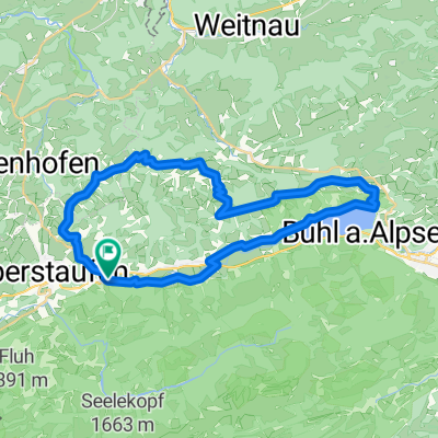
10. Oberstaufen-Kriessern-80km-500Hm
A cycling route starting in Oberstaufen, Bavaria, Germany.
Overview
About this route
- 4 h 32 min
- Duration
- 80.8 km
- Distance
- 527 m
- Ascent
- 911 m
- Descent
- 17.8 km/h
- Avg. speed
- 839 m
- Max. altitude

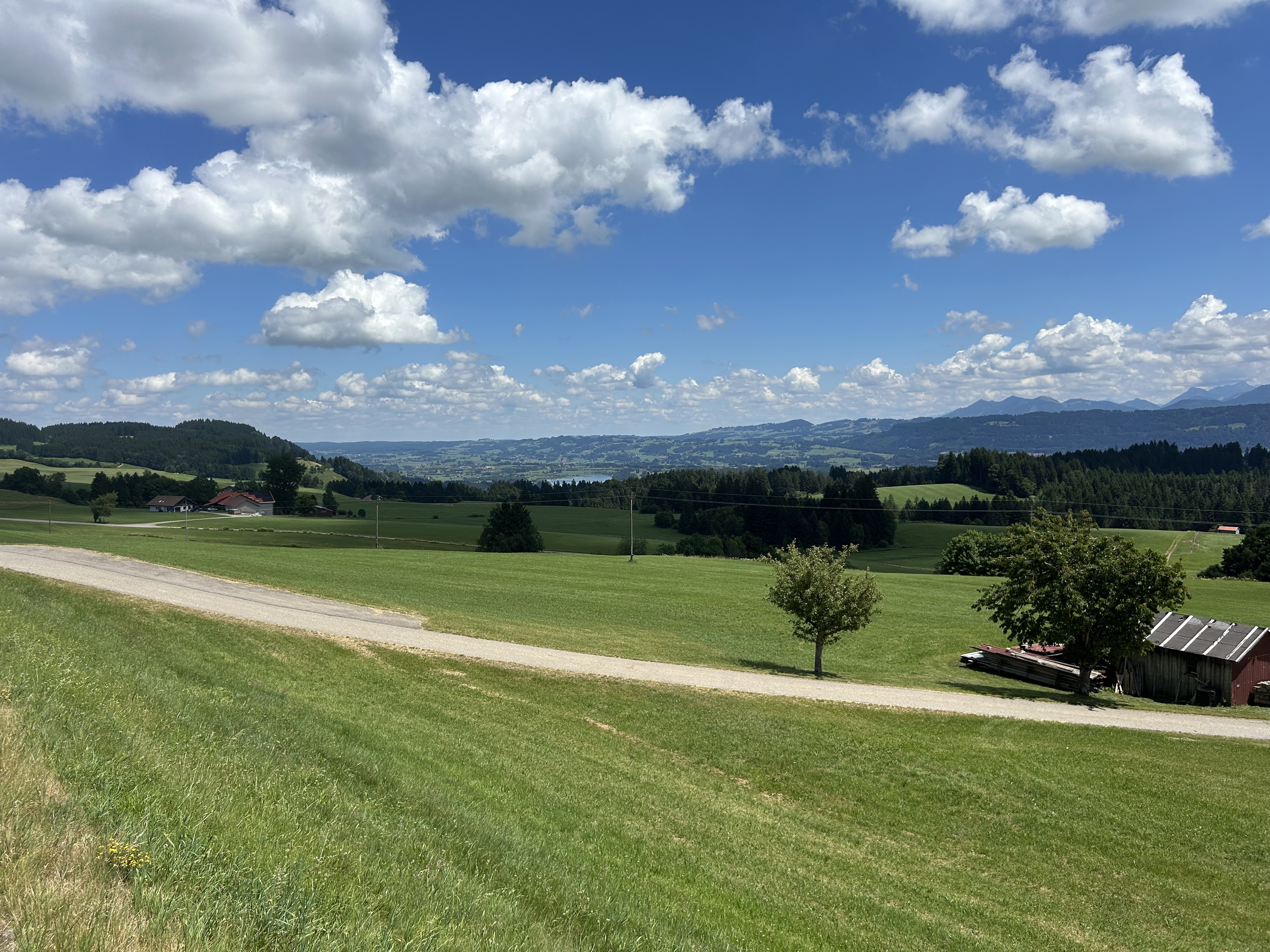
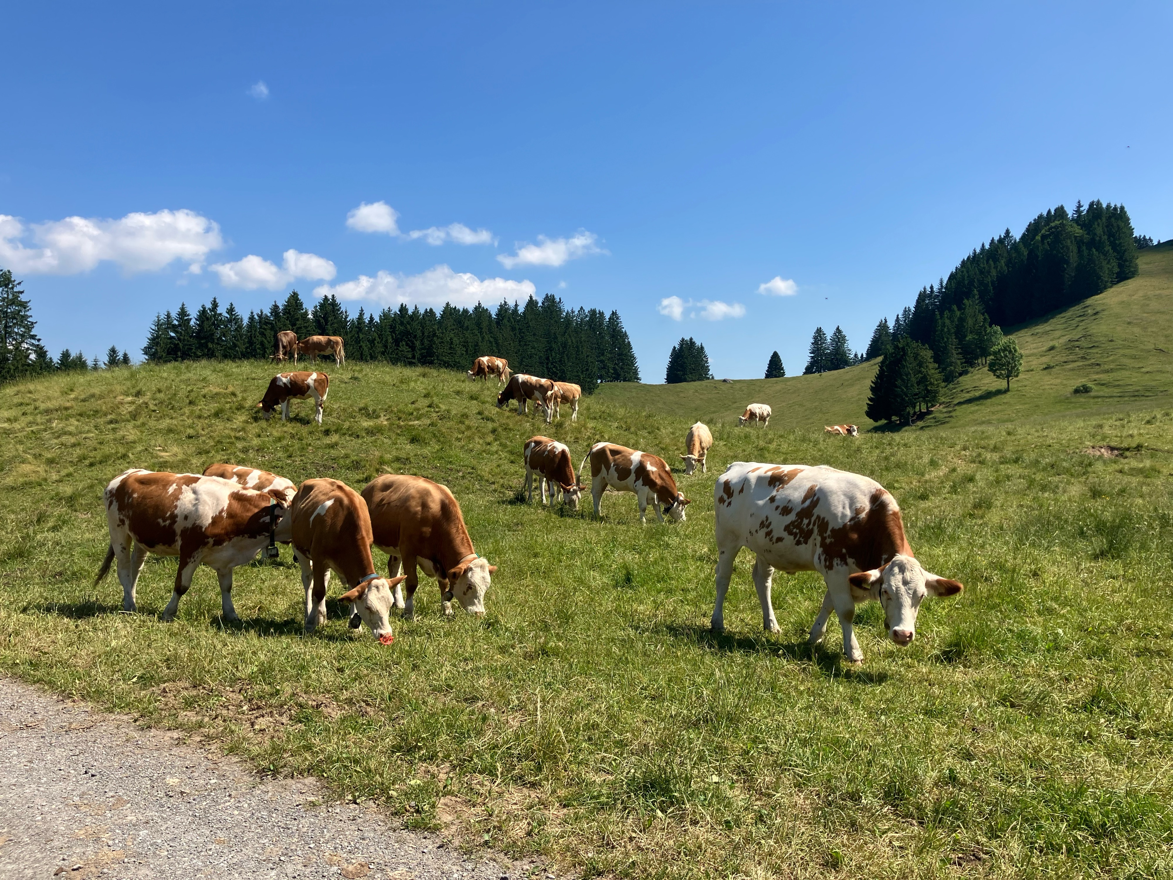
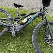
Route photos


Route quality
Waytypes & surfaces along the route
Waytypes
Quiet road
42.8 km
(53 %)
Cycleway
12.1 km
(15 %)
Surfaces
Paved
77.6 km
(96 %)
Unpaved
2.4 km
(3 %)
Asphalt
77.6 km
(96 %)
Loose gravel
2.4 km
(3 %)
Undefined
0.8 km
(1 %)
Continue with Bikemap
Use, edit, or download this cycling route
You would like to ride 10. Oberstaufen-Kriessern-80km-500Hm or customize it for your own trip? Here is what you can do with this Bikemap route:
Free features
- Save this route as favorite or in collections
- Copy & plan your own version of this route
- Split it into stages to create a multi-day tour
- Sync your route with Garmin or Wahoo
Premium features
Free trial for 3 days, or one-time payment. More about Bikemap Premium.
- Navigate this route on iOS & Android
- Export a GPX / KML file of this route
- Create your custom printout (try it for free)
- Download this route for offline navigation
Discover more Premium features.
Get Bikemap PremiumFrom our community
Other popular routes starting in Oberstaufen
 10. Oberstaufen-Kriessern-80km-500Hm
- Distance
- 80.8 km
- Ascent
- 527 m
- Descent
- 911 m
- Location
- Oberstaufen, Bavaria, Germany
 Oberstaufen
- Distance
- 43.1 km
- Ascent
- 837 m
- Descent
- 837 m
- Location
- Oberstaufen, Bavaria, Germany
 47.558, 10.025 nach 47.556, 10.024
- Distance
- 56.7 km
- Ascent
- 763 m
- Descent
- 751 m
- Location
- Oberstaufen, Bavaria, Germany
 Runde um den Hündle
- Distance
- 20.2 km
- Ascent
- 585 m
- Descent
- 580 m
- Location
- Oberstaufen, Bavaria, Germany
 Alpsee-Panorama
- Distance
- 35.1 km
- Ascent
- 597 m
- Descent
- 597 m
- Location
- Oberstaufen, Bavaria, Germany
 Übers Hündle
- Distance
- 10.8 km
- Ascent
- 408 m
- Descent
- 411 m
- Location
- Oberstaufen, Bavaria, Germany
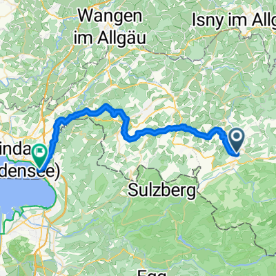 Von Oberstaufen bis Lindau (Bodensee)
- Distance
- 37.3 km
- Ascent
- 585 m
- Descent
- 978 m
- Location
- Oberstaufen, Bavaria, Germany
 Hochbühlstraße, Oberstaufen nach Immenstädter Straße, Oberstaufen
- Distance
- 40.7 km
- Ascent
- 1,749 m
- Descent
- 1,754 m
- Location
- Oberstaufen, Bavaria, Germany
Open it in the app