

Blundautal-Jochalm MB und, oder zu Fuß
A cycling route starting in Golling an der Salzach, Salzburg, Austria.
Overview
About this route
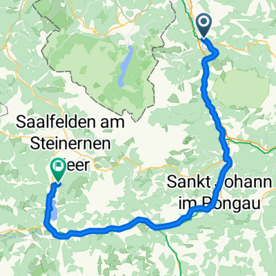
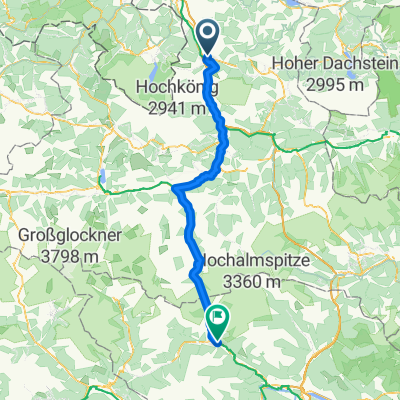
Route description Start in Golling - over the railway - under the federal road and the motorway to the parking lot at Bluntaumühle (starting point of the route around Hohen Göll) - first on asphalt, from KM 4.9 on gravel - past the Bärenhütte inn - from KM 6.2 the gradient increases - in many hairpins to the Oberen Jochalm (possibility to hike to the Carl-Stahlhaus at the border with Germany - no cycling allowed!) - return on the same route. You can also combine this tour with the Blundautal Tour starting from the Abfalter inn in front of the Golling Waterfall. Highly recommended.
- -:--
- Duration
- 14.7 km
- Distance
- 1,393 m
- Ascent
- 322 m
- Descent
- ---
- Avg. speed
- ---
- Max. altitude

Continue with Bikemap
Use, edit, or download this cycling route
You would like to ride Blundautal-Jochalm MB und, oder zu Fuß or customize it for your own trip? Here is what you can do with this Bikemap route:
Free features
- Save this route as favorite or in collections
- Copy & plan your own version of this route
- Sync your route with Garmin or Wahoo
Premium features
Free trial for 3 days, or one-time payment. More about Bikemap Premium.
- Navigate this route on iOS & Android
- Export a GPX / KML file of this route
- Create your custom printout (try it for free)
- Download this route for offline navigation
Discover more Premium features.
Get Bikemap PremiumFrom our community
Other popular routes starting in Golling an der Salzach
 Golling - Berchtesgadener - Runde
- Distance
- 53.1 km
- Ascent
- 1,584 m
- Descent
- 1,582 m
- Location
- Golling an der Salzach, Salzburg, Austria
 Ausfahrt von Golling an der Salzach nach Werfen
- Distance
- 19 km
- Ascent
- 290 m
- Descent
- 209 m
- Location
- Golling an der Salzach, Salzburg, Austria
 Bobici na kole #02-D02 (Venedigo)
- Distance
- 78.8 km
- Ascent
- 643 m
- Descent
- 341 m
- Location
- Golling an der Salzach, Salzburg, Austria
 Wasserfallstraße to Windschnurweg
- Distance
- 18.7 km
- Ascent
- 166 m
- Descent
- 203 m
- Location
- Golling an der Salzach, Salzburg, Austria
 2023-3 Tauernradweg Golling - Seekirchen am Wallersee
- Distance
- 46 km
- Ascent
- 487 m
- Descent
- 460 m
- Location
- Golling an der Salzach, Salzburg, Austria
 Baldramsdorf - Steindorf am Ossiacher See
- Distance
- 101.9 km
- Ascent
- 1,846 m
- Descent
- 1,637 m
- Location
- Golling an der Salzach, Salzburg, Austria
 4. Golling-Siegsdorf-81km-850Hm
- Distance
- 85.4 km
- Ascent
- 1,141 m
- Descent
- 916 m
- Location
- Golling an der Salzach, Salzburg, Austria
 Golling nach Bad Gastein
- Distance
- 75.9 km
- Ascent
- 1,463 m
- Descent
- 906 m
- Location
- Golling an der Salzach, Salzburg, Austria
Open it in the app