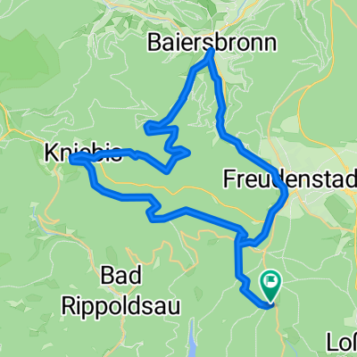
MTB Loßbach 50 km, 1240 hm
- 48 km
- 1,191 m
- 1,196 m
- Loßburg, Baden-Wurttemberg, Germany
A cycling route starting in Loßburg, Baden-Wurttemberg, Germany.
Overview
created this 13 years ago
Route quality
Quiet road
13.3 km
(18 %)
Road
12.6 km
(17 %)
Paved
65.9 km
(89 %)
Unpaved
2.2 km
(3 %)
Asphalt
65.1 km
(88 %)
Ground
1.5 km
(2 %)
Continue with Bikemap
You would like to ride Loßburgrunde or customize it for your own trip? Here is what you can do with this Bikemap route:
Free trial for 3 days, or one-time payment. More about Bikemap Premium.
Discover more Premium features.
Get Bikemap PremiumFrom our community
Open it in the app