

Arlington to Seattle
A cycling route starting in Smokey Point, Washington, United States.
Overview
About this route
A high proportion of this route was on paved bicycle trails. The Centennial Trail from Arlington all the way into Snohomish was wonderful and allowed fast riding. The North Creek Trail on the other hand wandered and would be great for anyone not in a hurry. And of course the Burke-Gilman Trail is wonderful and fast as well.
The initial roads to the southwest of Snohomish had too many cars and no shoulder until we were well onto Seattle Hill Road. From when the bicycle lane began until we turned onto the Bothell-Everett Highway, Seattle Hill Road was excellent. However, to get to the Seattle Hill Road, there was not only several miles of no shoulder riding, but also a short but very steep climb that was also without shoulder. We held traffic up while we inched our way up it. If we ride through Snohomish again, we need to see what better route there might be to avoid these shoulderless busy roads and steep shoulderless climb.
The Bothell-Everett Highway was fast with a pretty good bike lane, but it was very busy and noisy.
- 6 h 56 min
- Duration
- 97.6 km
- Distance
- 1,514 m
- Ascent
- 1,459 m
- Descent
- 14.1 km/h
- Avg. speed
- 145 m
- Max. altitude

Route photos


Continue with Bikemap
Use, edit, or download this cycling route
You would like to ride Arlington to Seattle or customize it for your own trip? Here is what you can do with this Bikemap route:
Free features
- Save this route as favorite or in collections
- Copy & plan your own version of this route
- Split it into stages to create a multi-day tour
- Sync your route with Garmin or Wahoo
Premium features
Free trial for 3 days, or one-time payment. More about Bikemap Premium.
- Navigate this route on iOS & Android
- Export a GPX / KML file of this route
- Create your custom printout (try it for free)
- Download this route for offline navigation
Discover more Premium features.
Get Bikemap PremiumFrom our community
Other popular routes starting in Smokey Point
 15291–15359 67th Ave NE, Arlington to 15405 67th Ave NE, Arlington
- Distance
- 5.2 km
- Ascent
- 23 m
- Descent
- 23 m
- Location
- Smokey Point, Washington, United States
 Arlington to Seattle
- Distance
- 97.6 km
- Ascent
- 1,514 m
- Descent
- 1,459 m
- Location
- Smokey Point, Washington, United States
 15405 67th Ave NE, Arlington to 15405 67th Ave NE, Arlington
- Distance
- 13 km
- Ascent
- 118 m
- Descent
- 116 m
- Location
- Smokey Point, Washington, United States
 Easy ride in Arlington
- Distance
- 40.9 km
- Ascent
- 196 m
- Descent
- 195 m
- Location
- Smokey Point, Washington, United States
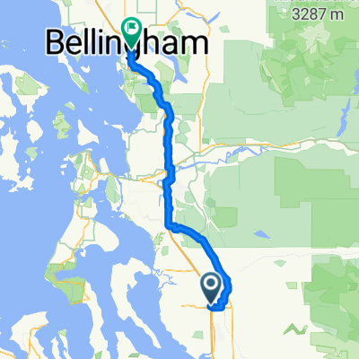
 172nd St NE, Arlington to Lakeway Dr, Bellingham
- Distance
- 93.7 km
- Ascent
- 604 m
- Descent
- 593 m
- Location
- Smokey Point, Washington, United States
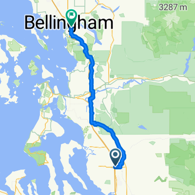
 Smokey Point Dr, Arlington to Lakeway Dr, Bellingham
- Distance
- 92.3 km
- Ascent
- 964 m
- Descent
- 952 m
- Location
- Smokey Point, Washington, United States
 18828 Smokey Point Blvd, Arlington to 14714–14798 Summers Dr, Mount Vernon
- Distance
- 42.1 km
- Ascent
- 330 m
- Descent
- 348 m
- Location
- Smokey Point, Washington, United States
 15405 67th Ave NE, Arlington to 15405 67th Ave NE, Arlington
- Distance
- 11.1 km
- Ascent
- 65 m
- Descent
- 66 m
- Location
- Smokey Point, Washington, United States
Open it in the app