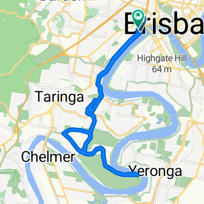
Coronation Dr at Boomerang St to Little Cribb Street
- 22.6 km
- 178 m
- 225 m
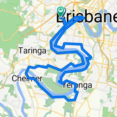
- Milton, Queensland, Australia
A cycling route starting in Milton, Queensland, Australia.
Overview
Training loop, mostly flat but with hills at the end!
created this 13 years ago
Route quality
Road
2.9 km
(34 %)
Quiet road
1.1 km
(13 %)
Paved
8.6 km
(99 %)
Asphalt
7.4 km
(85 %)
Paved (undefined)
1.2 km
(14 %)
Undefined
0.1 km
(1 %)
Continue with Bikemap
You would like to ride Coro plus Toowong Cemetery loop or customize it for your own trip? Here is what you can do with this Bikemap route:
Free trial for 3 days, or one-time payment. More about Bikemap Premium.
Discover more Premium features.
Get Bikemap PremiumFrom our community
Open it in the app