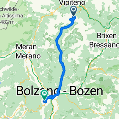
Freienfeld -Brixen
- 30.2 km
- 720 m
- 1,099 m
- Freienfeld, Trentino-Alto Adige, Italy
A cycling route starting in Freienfeld, Trentino-Alto Adige, Italy.
Overview
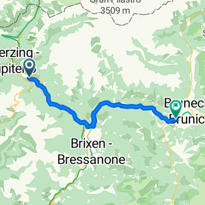
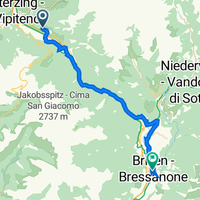
Otztaler Cycling Challenge 2011 - Stage 4
Campo di Trens - Vipiteno - Passo di Pennes - Vipiteno - Campo di Trens
Passo di Pennes / Penserjoch (2211m)
created this 13 years ago
Route quality
Access road
4.3 km
(10 %)
Quiet road
2.6 km
(6 %)
Paved
35.5 km
(83 %)
Asphalt
35.5 km
(83 %)
Undefined
7.3 km
(17 %)
Continue with Bikemap
You would like to ride Otztaler Cycling Challenge 2011 - Stage 4 or customize it for your own trip? Here is what you can do with this Bikemap route:
Free trial for 3 days, or one-time payment. More about Bikemap Premium.
Discover more Premium features.
Get Bikemap PremiumFrom our community
Open it in the app