Freiburg Besancon _ Lyon Avignon über Mount Ventaux _ Div. Tracks um Ampus
A cycling route starting in Montferrat, Provence-Alpes-Côte d'Azur Region, France.
Overview
About this route
Compilation of various tracks from 2010 Start Freiburg - Besançon Lyon - Vienne Valence - Mont Ventoux - Avignon Various tracks around Ampus, partly MTB
- -:--
- Duration
- 2,300.1 km
- Distance
- 7,871 m
- Ascent
- 7,932 m
- Descent
- ---
- Avg. speed
- ---
- Max. altitude
Continue with Bikemap
Use, edit, or download this cycling route
You would like to ride Freiburg Besancon _ Lyon Avignon über Mount Ventaux _ Div. Tracks um Ampus or customize it for your own trip? Here is what you can do with this Bikemap route:
Free features
- Save this route as favorite or in collections
- Copy & plan your own version of this route
- Split it into stages to create a multi-day tour
- Sync your route with Garmin or Wahoo
Premium features
Free trial for 3 days, or one-time payment. More about Bikemap Premium.
- Navigate this route on iOS & Android
- Export a GPX / KML file of this route
- Create your custom printout (try it for free)
- Download this route for offline navigation
Discover more Premium features.
Get Bikemap PremiumFrom our community
Other popular routes starting in Montferrat
- 1–19 Montée de la Calade, Châteaudouble à 1719 Route Départementale 225, Callas
- Distance
- 12.1 km
- Ascent
- 170 m
- Descent
- 405 m
- Location
- Montferrat, Provence-Alpes-Côte d'Azur Region, France
- CJS-COMPS-BARGEMON-CJS
- Distance
- 46.4 km
- Ascent
- 728 m
- Descent
- 730 m
- Location
- Montferrat, Provence-Alpes-Côte d'Azur Region, France
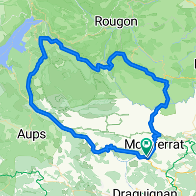
- Montferrat à Montferrat
- Distance
- 8.4 km
- Ascent
- 211 m
- Descent
- 191 m
- Location
- Montferrat, Provence-Alpes-Côte d'Azur Region, France
- Chateaudouble-Villecroze-Rebouillon
- Distance
- 49.3 km
- Ascent
- 1,171 m
- Descent
- 1,170 m
- Location
- Montferrat, Provence-Alpes-Côte d'Azur Region, France
- Nizza - Avignon Etappe 3
- Distance
- 48.7 km
- Ascent
- 1,042 m
- Descent
- 957 m
- Location
- Montferrat, Provence-Alpes-Côte d'Azur Region, France
- D54, Figanières to D51, Chateaudouble
- Distance
- 3.1 km
- Ascent
- 72 m
- Descent
- 79 m
- Location
- Montferrat, Provence-Alpes-Côte d'Azur Region, France
- Etape 2.9
- Distance
- 82.1 km
- Ascent
- 992 m
- Descent
- 1,219 m
- Location
- Montferrat, Provence-Alpes-Côte d'Azur Region, France
- CASTELLANE
- Distance
- 84 km
- Ascent
- 1,409 m
- Descent
- 1,414 m
- Location
- Montferrat, Provence-Alpes-Côte d'Azur Region, France
Open it in the app