

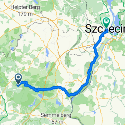
U6 Uckermark: Lindenhof-Annenwalde-Templin
A cycling route starting in Templin, Brandenburg, Germany.
Overview
About this route
- 1 h 53 min
- Duration
- 30 km
- Distance
- 164 m
- Ascent
- 165 m
- Descent
- 16 km/h
- Avg. speed
- 80 m
- Max. altitude

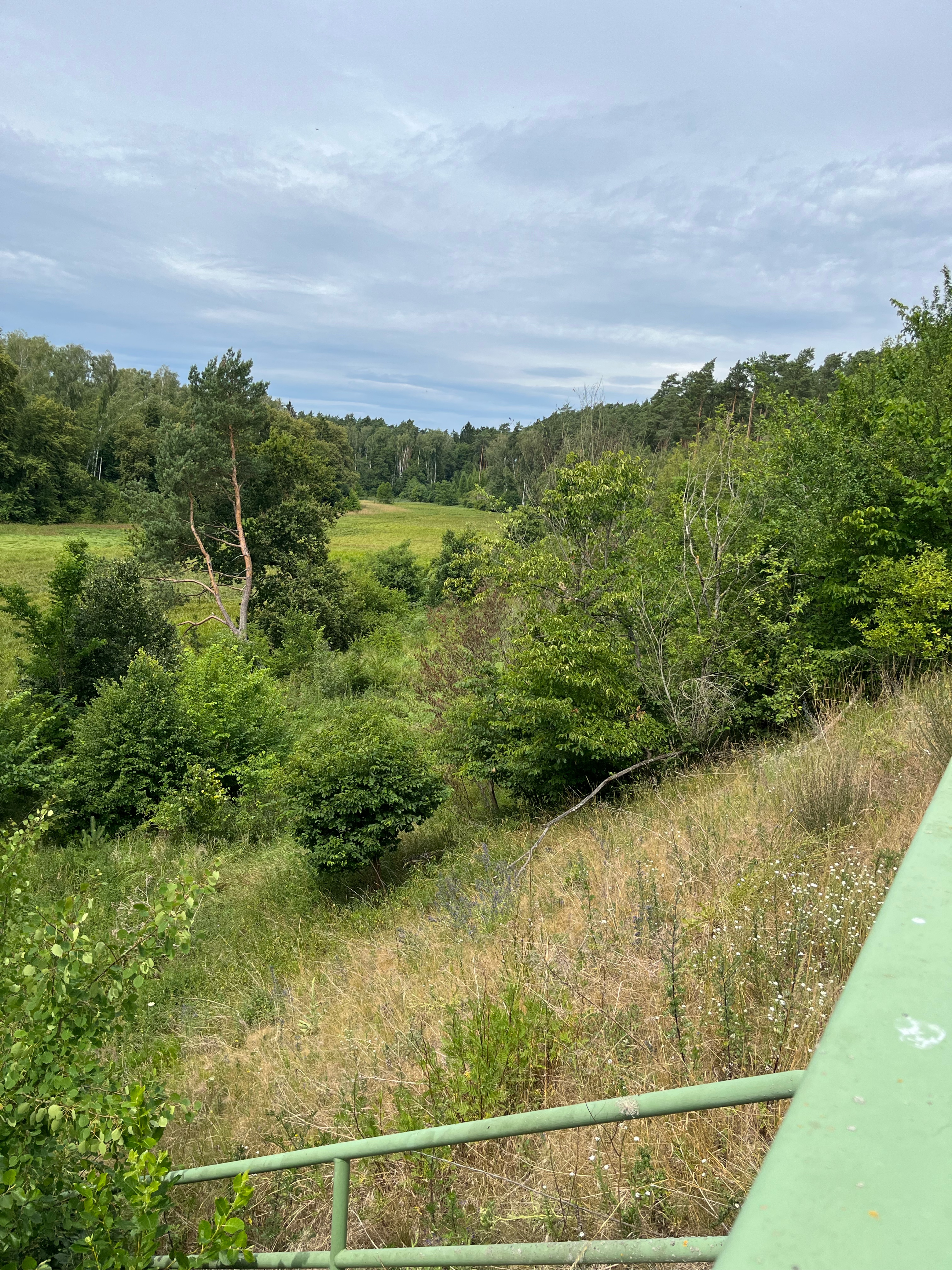
Route quality
Waytypes & surfaces along the route
Waytypes
Road
18.2 km
(61 %)
Quiet road
3.8 km
(13 %)
Surfaces
Paved
11.7 km
(39 %)
Unpaved
4.7 km
(16 %)
Asphalt
9.3 km
(31 %)
Ground
3.8 km
(13 %)
Continue with Bikemap
Use, edit, or download this cycling route
You would like to ride U6 Uckermark: Lindenhof-Annenwalde-Templin or customize it for your own trip? Here is what you can do with this Bikemap route:
Free features
- Save this route as favorite or in collections
- Copy & plan your own version of this route
- Sync your route with Garmin or Wahoo
Premium features
Free trial for 3 days, or one-time payment. More about Bikemap Premium.
- Navigate this route on iOS & Android
- Export a GPX / KML file of this route
- Create your custom printout (try it for free)
- Download this route for offline navigation
Discover more Premium features.
Get Bikemap PremiumFrom our community
Other popular routes starting in Templin
 63 Km Templin
- Distance
- 62.6 km
- Ascent
- 187 m
- Descent
- 187 m
- Location
- Templin, Brandenburg, Germany
 Templin-Boitzenburg-Prenzlau
- Distance
- 41.6 km
- Ascent
- 183 m
- Descent
- 209 m
- Location
- Templin, Brandenburg, Germany
 シュチェチン ルート
- Distance
- 127.2 km
- Ascent
- 596 m
- Descent
- 624 m
- Location
- Templin, Brandenburg, Germany
 U6 Uckermark: Lindenhof-Annenwalde-Templin
- Distance
- 30 km
- Ascent
- 164 m
- Descent
- 165 m
- Location
- Templin, Brandenburg, Germany
 Über Stock und Stein (mittel)
- Distance
- 39.8 km
- Ascent
- 168 m
- Descent
- 166 m
- Location
- Templin, Brandenburg, Germany
 Tour 2020 - Tag 1
- Distance
- 100 km
- Ascent
- 126 m
- Descent
- 150 m
- Location
- Templin, Brandenburg, Germany
 Schinkelstraße, Templin nach Templin
- Distance
- 29.1 km
- Ascent
- 117 m
- Descent
- 127 m
- Location
- Templin, Brandenburg, Germany
 Templiner See
- Distance
- 19.7 km
- Ascent
- 280 m
- Descent
- 283 m
- Location
- Templin, Brandenburg, Germany
Open it in the app