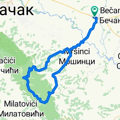
Mrcajevci-Torlak-Brezovice-Mrcajevci
- 49.3 km
- 717 m
- 716 m
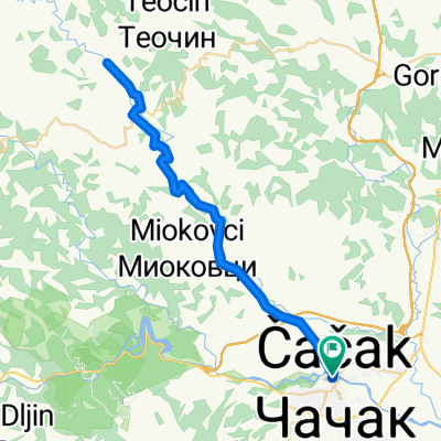
- Čačak, Central Serbia, Serbia
A cycling route starting in Čačak, Central Serbia, Serbia.
Overview
created this 14 years ago
Route quality
Quiet road
12.4 km
24 %
Pedestrian area
1.5 km
3 %
Paved
43.3 km
(84 %)
Asphalt
43.3 km
84 %
Undefined
8.3 km
16 %
Continue with Bikemap
You would like to ride Cacak-Cekovic or customize it for your own trip? Here is what you can do with this Bikemap route:
Free trial for 3 days, or one-time payment. More about Bikemap Premium.
Discover more Premium features.
Get Bikemap PremiumFrom our community
Open it in the app