Kerenzerberg-Wildhaus-Ricken
A cycling route starting in Näfels, Canton of Glarus, Switzerland.
Overview
About this route
Three climbs with views of Lake Walen and a beautiful tour through Toggenburg. With the highest point in Wildhaus.
- -:--
- Duration
- 124.8 km
- Distance
- 1,159 m
- Ascent
- 1,159 m
- Descent
- ---
- Avg. speed
- ---
- Max. altitude
Route quality
Waytypes & surfaces along the route
Waytypes
Quiet road
41.2 km
(33 %)
Track
7.5 km
(6 %)
Surfaces
Paved
117.3 km
(94 %)
Unpaved
3.7 km
(3 %)
Asphalt
114.8 km
(92 %)
Paved (undefined)
2.5 km
(2 %)
Continue with Bikemap
Use, edit, or download this cycling route
You would like to ride Kerenzerberg-Wildhaus-Ricken or customize it for your own trip? Here is what you can do with this Bikemap route:
Free features
- Save this route as favorite or in collections
- Copy & plan your own version of this route
- Split it into stages to create a multi-day tour
- Sync your route with Garmin or Wahoo
Premium features
Free trial for 3 days, or one-time payment. More about Bikemap Premium.
- Navigate this route on iOS & Android
- Export a GPX / KML file of this route
- Create your custom printout (try it for free)
- Download this route for offline navigation
Discover more Premium features.
Get Bikemap PremiumFrom our community
Other popular routes starting in Näfels
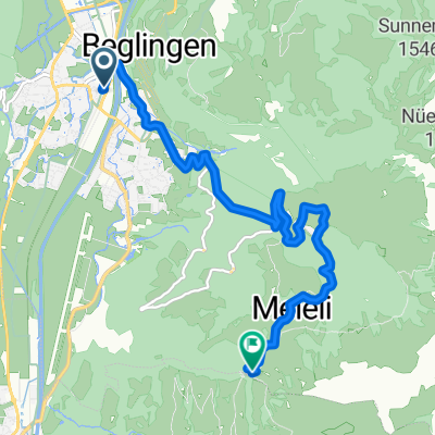
Percorso rilassato in Näfels- Distance
- 9.6 km
- Ascent
- 53 m
- Descent
- 61 m
- Location
- Näfels, Canton of Glarus, Switzerland
näfels-sool-schwändi-näfels- Distance
- 37.7 km
- Ascent
- 542 m
- Descent
- 541 m
- Location
- Näfels, Canton of Glarus, Switzerland
Längeneggpass- Distance
- 39.9 km
- Ascent
- 1,345 m
- Descent
- 1,344 m
- Location
- Näfels, Canton of Glarus, Switzerland
Von Näfels bis Zürich- Distance
- 66.8 km
- Ascent
- 293 m
- Descent
- 300 m
- Location
- Näfels, Canton of Glarus, Switzerland
Rautispitz- Distance
- 56.3 km
- Ascent
- 342 m
- Descent
- 874 m
- Location
- Näfels, Canton of Glarus, Switzerland
Transalp Etappe 1- Distance
- 124.9 km
- Ascent
- 2,348 m
- Descent
- 1,309 m
- Location
- Näfels, Canton of Glarus, Switzerland
Kerenzerberg-Wildhaus-Ricken- Distance
- 124.8 km
- Ascent
- 1,159 m
- Descent
- 1,159 m
- Location
- Näfels, Canton of Glarus, Switzerland
Lachengrat + Glarner Flowtrail- Distance
- 76.6 km
- Ascent
- 1,604 m
- Descent
- 1,626 m
- Location
- Näfels, Canton of Glarus, Switzerland
Open it in the app


