2018 BIG Day 2/1
- 61 km
- 1,111 m
- 1,114 m
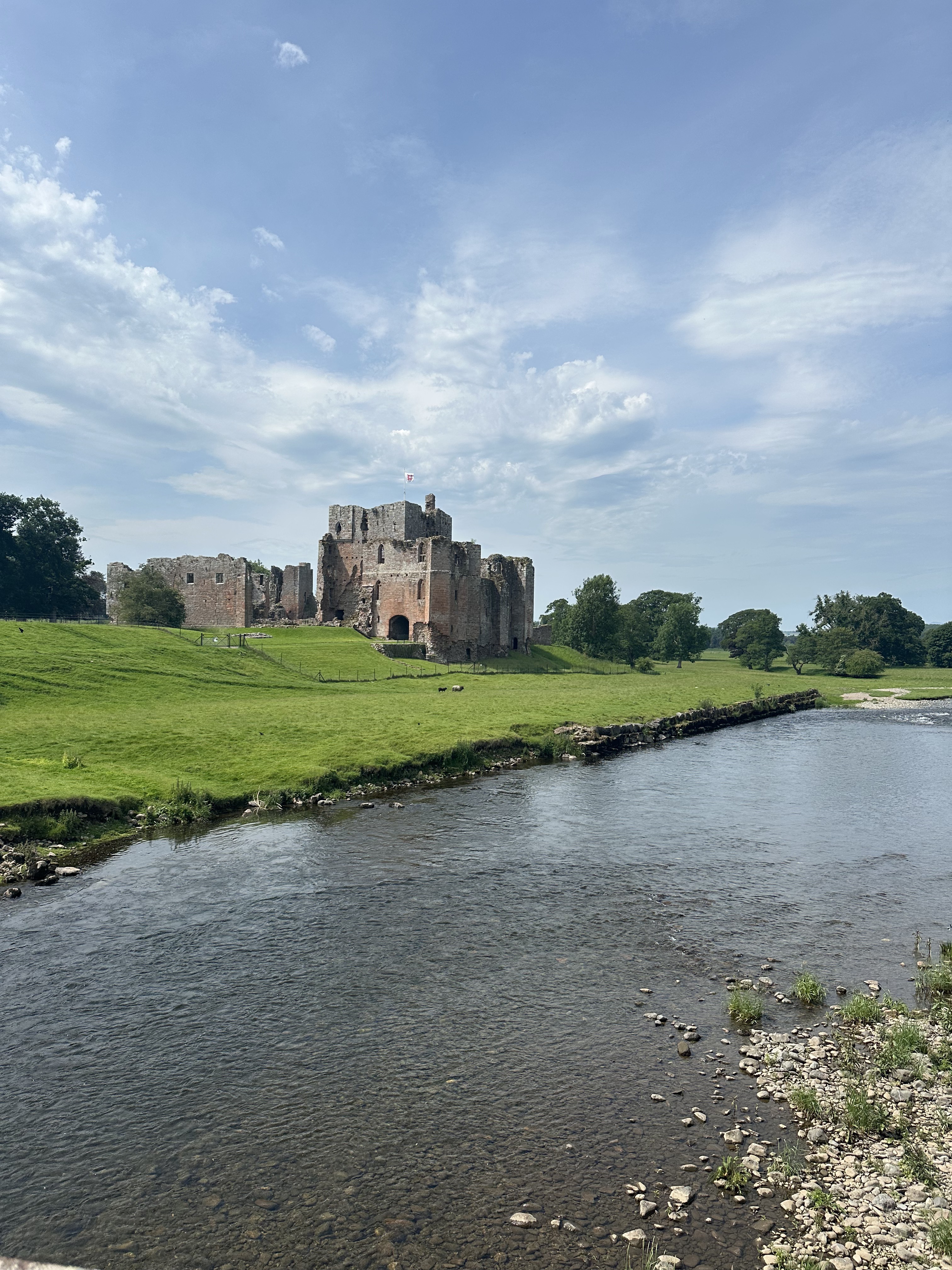
- Appleby-in-Westmorland, England, United Kingdom
Routes From Hotel
A cycling route starting in Appleby-in-Westmorland, England, United Kingdom.
Overview
created this 1 year ago
Part of
7 stages
Route quality
Quiet road
27.2 km
(47 %)
Road
21.4 km
(37 %)
Paved
4.6 km
(8 %)
Asphalt
4.6 km
(8 %)
Undefined
53.3 km
(92 %)
Continue with Bikemap
You would like to ride Tufton Arms Hotel or customize it for your own trip? Here is what you can do with this Bikemap route:
Free trial for 3 days, or one-time payment. More about Bikemap Premium.
Discover more Premium features.
Get Bikemap PremiumFrom our community
Open it in the app