round bridges
- 10.1 km
- 59 m
- 59 m
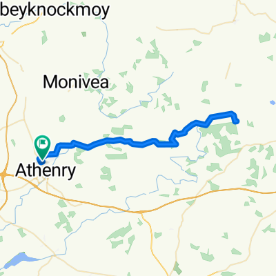
- Athenry, Connacht, Ireland
A cycling route starting in Athenry, Connacht, Ireland.
Overview
Athenry to Doolin. I was a bit short on time with this but it might be nicer to go around the coastal route rather than the N67 Ballyvaghan - Lisdoonvarna.
Mostly a flat route apart from the hill at Gregan's East.
created this 17 years ago
Route quality
Road
3.7 km
(5 %)
Quiet road
2.2 km
(3 %)
Paved
58.1 km
(79 %)
Unpaved
0.7 km
(1 %)
Asphalt
58.1 km
(79 %)
Ground
0.7 km
(1 %)
Undefined
14.7 km
(20 %)
Route highlights
Castle on the water
Continue with Bikemap
You would like to ride Ireland or customize it for your own trip? Here is what you can do with this Bikemap route:
Free trial for 3 days, or one-time payment. More about Bikemap Premium.
Discover more Premium features.
Get Bikemap PremiumFrom our community
Open it in the app