Montmélian - La Chapelle Blanche - St Maximin - Allevard
- 101.1 km
- 979 m
- 979 m
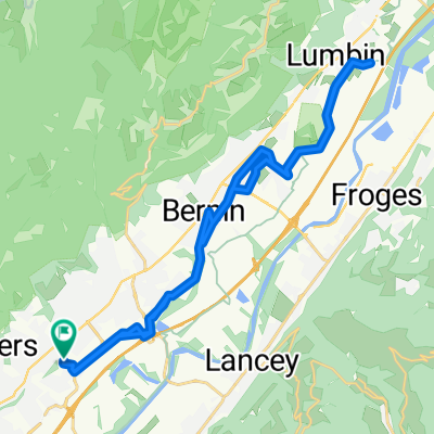
- Saint-Ismier, Auvergne-Rhône-Alpes, France
A cycling route starting in Saint-Ismier, Auvergne-Rhône-Alpes, France.
Overview
St Ismier - Le Touvet Château - St Vincent de Mercuze - La Flachère - Chapareillan - La Pallud Bellecombette - Ste Marie du Mont - Col de Marcieu - St Bernard du Touvet - St Hilaire du Touvet - Les Eymes - St Ismier
created this 13 years ago
Route quality
Road
23.3 km
31 %
Quiet road
12 km
16 %
Paved
39.9 km
(53 %)
Unpaved
1.5 km
(2 %)
Asphalt
39.9 km
53 %
Gravel
0.8 km
1 %
Continue with Bikemap
You would like to ride Chapareillan - Le Balcon de la Chartreuse or customize it for your own trip? Here is what you can do with this Bikemap route:
Free trial for 3 days, or one-time payment. More about Bikemap Premium.
Discover more Premium features.
Get Bikemap PremiumFrom our community
Open it in the app