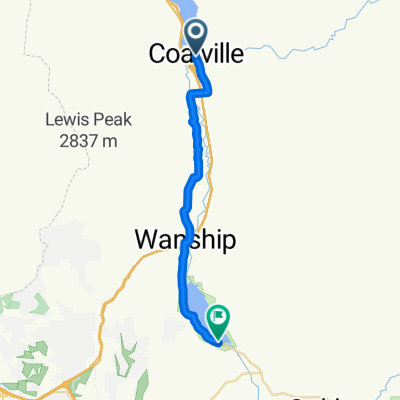
North Main Street to Pioneer Drive
- 43.5 km
- 170 m
- 130 m
- Coalville, Utah, United States
A cycling route starting in Coalville, Utah, United States.
Overview
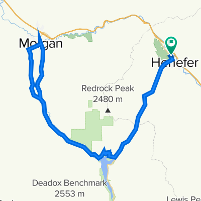
A short but moderate cycling loop with interesting diversity. About 11 miles with an elevation gain of about 650 feet.
WARNING: ABOUT 1.5 MILES OF THIS LOOP IS ON I-15. IT IS UP TO YOU TO RESEARCH A GOOD EXPLANATION (FOR ANY UTAH STATE TROOPER) AS TO WHY THIS IS LEGAL. It is recommended this loop be done clockwise so the freeway section is downhill.
There are no amenities on the route, even in Henefer. There might be a few spots where you can find ditch water if needed, but nothing safe to drink.
Your ride can be extended by adding a out-and-back spur from Croydon toward Lost Creek Reservoir.
created this 1 year ago
Continue with Bikemap
You would like to ride CROYDON DEATH LOOP or customize it for your own trip? Here is what you can do with this Bikemap route:
Free trial for 3 days, or one-time payment. More about Bikemap Premium.
Discover more Premium features.
Get Bikemap PremiumFrom our community
Open it in the app