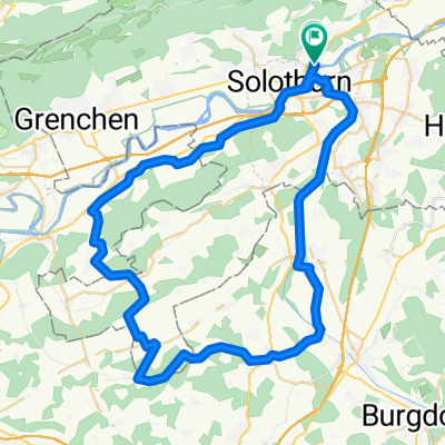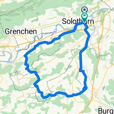
Von Feldbrunnen-Sankt Niklaus bis Zuchwil
- 53.6 km
- 639 m
- 638 m
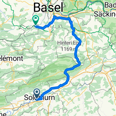
- Solothurn, Canton of Solothurn, Switzerland
A cycling route starting in Solothurn, Canton of Solothurn, Switzerland.
Overview
created this 1 year ago


Route quality
Quiet road
37.8 km
(47 %)
Track
10.5 km
(13 %)
Paved
54.7 km
(68 %)
Unpaved
8 km
(10 %)
Asphalt
49 km
(61 %)
Gravel
7.2 km
(9 %)
Continue with Bikemap
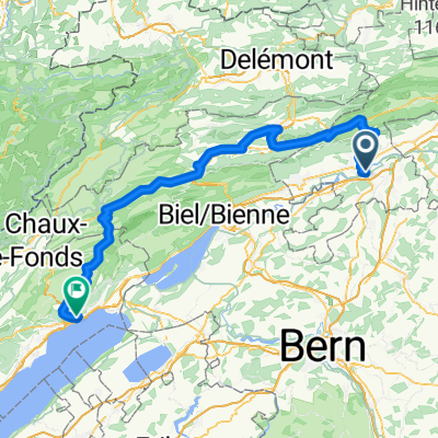
You would like to ride Tag 1.2 Solothurn-Noiraigue or customize it for your own trip? Here is what you can do with this Bikemap route:
Free trial for 3 days, or one-time payment. More about Bikemap Premium.
Discover more Premium features.
Get Bikemap PremiumFrom our community
Open it in the app