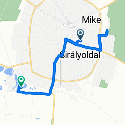
Nánás - Kopasz Égjen a ZSÍR!
A cycling route starting in Hajdúnánás, Hajdú-Bihar, Hungary.
Overview
About this route
Kellemes alföldi táj, a közepén egy kis ZSÍR ÉGETÉSSEL!!!
- -:--
- Duration
- 89.5 km
- Distance
- 392 m
- Ascent
- 392 m
- Descent
- ---
- Avg. speed
- ---
- Max. altitude
Route quality
Waytypes & surfaces along the route
Waytypes
Busy road
47 km
(53 %)
Road
11.3 km
(13 %)
Surfaces
Paved
36.5 km
(41 %)
Unpaved
0.2 km
(<1 %)
Asphalt
36.2 km
(40 %)
Paved (undefined)
0.3 km
(<1 %)
Continue with Bikemap
Use, edit, or download this cycling route
You would like to ride Nánás - Kopasz Égjen a ZSÍR! or customize it for your own trip? Here is what you can do with this Bikemap route:
Free features
- Save this route as favorite or in collections
- Copy & plan your own version of this route
- Split it into stages to create a multi-day tour
- Sync your route with Garmin or Wahoo
Premium features
Free trial for 3 days, or one-time payment. More about Bikemap Premium.
- Navigate this route on iOS & Android
- Export a GPX / KML file of this route
- Create your custom printout (try it for free)
- Download this route for offline navigation
Discover more Premium features.
Get Bikemap PremiumFrom our community
Other popular routes starting in Hajdúnánás
- Krakkó-Varsó
- Distance
- 1,645 km
- Ascent
- 1,326 m
- Descent
- 1,328 m
- Location
- Hajdúnánás, Hajdú-Bihar, Hungary
- 08.05.
- Distance
- 8.3 km
- Ascent
- 25 m
- Descent
- 62 m
- Location
- Hajdúnánás, Hajdú-Bihar, Hungary
- Korponai utca 1, Hajdúnánás - Téglagyár utca 1, Hajdúböszörmény
- Distance
- 19.1 km
- Ascent
- 24 m
- Descent
- 7 m
- Location
- Hajdúnánás, Hajdú-Bihar, Hungary
- Könnyű út
- Distance
- 17.6 km
- Ascent
- 42 m
- Descent
- 85 m
- Location
- Hajdúnánás, Hajdú-Bihar, Hungary
- Bocskai utca - Bocskai utca
- Distance
- 9.9 km
- Ascent
- 40 m
- Descent
- 77 m
- Location
- Hajdúnánás, Hajdú-Bihar, Hungary
- 1. ut
- Distance
- 8.2 km
- Ascent
- 109 m
- Descent
- 108 m
- Location
- Hajdúnánás, Hajdú-Bihar, Hungary
- éci 07/09
- Distance
- 14.4 km
- Ascent
- 98 m
- Descent
- 132 m
- Location
- Hajdúnánás, Hajdú-Bihar, Hungary
- Bélmegyer
- Distance
- 137.3 km
- Ascent
- 15 m
- Descent
- 27 m
- Location
- Hajdúnánás, Hajdú-Bihar, Hungary
Open it in the app