


winterthur lenggenwil
- 49.5 km
- 558 m
- 451 m
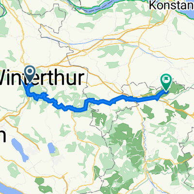
- Stadt Winterthur (Kreis 1) / Tössfeld, Canton of Zurich, Switzerland
A cycling route starting in Stadt Winterthur (Kreis 1) / Tössfeld, Canton of Zurich, Switzerland.
Overview
rather clear, but a beautiful panorama especially in foehn conditions. Little traffic
created this 13 years ago
Route quality
Road
10.4 km
(36 %)
Quiet road
8.4 km
(29 %)
Paved
27.2 km
(94 %)
Unpaved
0.6 km
(2 %)
Asphalt
27.2 km
(94 %)
Gravel
0.6 km
(2 %)
Undefined
1.2 km
(4 %)
Continue with Bikemap
You would like to ride Steig-Gerlisberg-Sunnebuel or customize it for your own trip? Here is what you can do with this Bikemap route:
Free trial for 3 days, or one-time payment. More about Bikemap Premium.
Discover more Premium features.
Get Bikemap PremiumFrom our community
Open it in the app


