

BENAGALBÓN - CÚTAR - TRIANA
A cycling route starting in Vélez-Málaga, Andalusia, Spain.
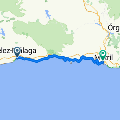
Overview
About this route
-
-
- SOURCES: Moclinejo - Benamargosa.
-
-
-
- FOOD CONTROL POINT: Almáchar.
-
-
-
- DANGEROUS DESCENT: From the top of Moclinejo to Almáchar (the wall). From the top of Cútar to Benamargosa. In both cases, the asphalt is usually wet in winter due to humidity.
-
-
-
- SLIPPERY CURVES: Approaching Triana from Benamargosa, the second before entering Triana.
-
- -:--
- Duration
- 67.6 km
- Distance
- 889 m
- Ascent
- 915 m
- Descent
- ---
- Avg. speed
- ---
- Max. altitude

Route quality
Waytypes & surfaces along the route
Waytypes
Road
45.3 km
(67 %)
Quiet road
8.1 km
(12 %)
Surfaces
Paved
12.8 km
(19 %)
Unpaved
2.7 km
(4 %)
Asphalt
12.2 km
(18 %)
Gravel
2 km
(3 %)
Route highlights
Points of interest along the route
Point of interest after 32.4 km
FUENTE A PIE DE CARRETERA
Point of interest after 40.2 km
PUNTO DE CONTROL - AVITUALLAMIENTO ALMACHAR
Point of interest after 40.2 km
Continue with Bikemap
Use, edit, or download this cycling route
You would like to ride BENAGALBÓN - CÚTAR - TRIANA or customize it for your own trip? Here is what you can do with this Bikemap route:
Free features
- Save this route as favorite or in collections
- Copy & plan your own version of this route
- Sync your route with Garmin or Wahoo
Premium features
Free trial for 3 days, or one-time payment. More about Bikemap Premium.
- Navigate this route on iOS & Android
- Export a GPX / KML file of this route
- Create your custom printout (try it for free)
- Download this route for offline navigation
Discover more Premium features.
Get Bikemap PremiumFrom our community
Other popular routes starting in Vélez-Málaga
 olias por malaga , a la vuelta subimos iznate
- Distance
- 88.8 km
- Ascent
- 919 m
- Descent
- 917 m
- Location
- Vélez-Málaga, Andalusia, Spain
 BENAGALBÓN - CÚTAR - TRIANA
- Distance
- 67.6 km
- Ascent
- 889 m
- Descent
- 915 m
- Location
- Vélez-Málaga, Andalusia, Spain
 SÁBAR Y CÚTAR
- Distance
- 82.2 km
- Ascent
- 1,025 m
- Descent
- 1,034 m
- Location
- Vélez-Málaga, Andalusia, Spain
 Vélez-Málaga - El Varadero
- Distance
- 71.6 km
- Ascent
- 1,443 m
- Descent
- 1,462 m
- Location
- Vélez-Málaga, Andalusia, Spain
 Torre-Cutar-Almachar (LA PARED)-Moclinejo-Valdes-benagalbon-Rincon-Torre
- Distance
- 68.1 km
- Ascent
- 933 m
- Descent
- 926 m
- Location
- Vélez-Málaga, Andalusia, Spain
 rotonda polideportivo-castillo bentomiz
- Distance
- 7.5 km
- Ascent
- 577 m
- Descent
- 52 m
- Location
- Vélez-Málaga, Andalusia, Spain
 ZAFARRAYA - LA REINA - EL PALO (con tramo libre Pte. D. Manuel - Ventas Zafarr.
- Distance
- 133.7 km
- Ascent
- 1,545 m
- Descent
- 1,545 m
- Location
- Vélez-Málaga, Andalusia, Spain
 Etapa 03. Vélez-Málaga - Alhama de Granada
- Distance
- 42.9 km
- Ascent
- 1,150 m
- Descent
- 323 m
- Location
- Vélez-Málaga, Andalusia, Spain
Open it in the app