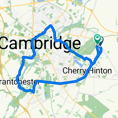
Cam-Ickworth-Cam circular
- 97.2 km
- 361 m
- 364 m
- Fulbourn, England, United Kingdom
A cycling route starting in Fulbourn, England, United Kingdom.
Overview
A nice morning's ride around the villages Southeast of Cambridge. Some areas to the South are surprisingly hilly (at least to someone used to Cambridge landscapes).
created this 13 years ago
Route quality
Road
27.9 km
(41 %)
Quiet road
12.3 km
(18 %)
Paved
34.7 km
(51 %)
Unpaved
3.4 km
(5 %)
Asphalt
34.7 km
(51 %)
Unpaved (undefined)
2 km
(3 %)
Route highlights
The Roman Road is passable on my road bike, but I have cyclocross wheels and 28mm tyres. Delicate racing bikes would probably be a struggle along here. The road from Fulbourn to Balsham is a good alternative, though it tends to be quite fast.
For a shorter route, leave the Roman Road here and head out through Babraham.
The Roman Road starts to get rough from here onwards. I would recommend it for mountain bikes, but next time I will try the fork that goes off to the South.
This road crossing was on a map fold and I was quite surprised when I encountered it. Just follow the signs for Bartlow and the route is clear.
Navigating Saffron Walden by bicycle was not easy. The signposts only seem to incidate internal landmarks, and don't mention surrounding villages. I got lost for some time in Saffron Walden! It's also quite hilly, and the traffic was very busy when I went through. Next time I will try to go around it, but no roads stood out when I planned the route.
The turning onto NCN11 is not obvious! When I joined it, the sign indicated the road into Littlebury Green, but there was no sign indicating the route in the opposite direction.
This road is really lovely! It's a single-track road with hardly any traffic and some lovely views. I passed one car on the way, plus a couple of parked cars which were probably there for the Icknield way footpath, which crosses this road.
NCN11 is really not well signposted. Most of the signs are hidden behind trees, or on signposts that you can't see until you're almost going past the turning. I had to make several sudden direction changes (which would have been dangerous in traffic) and I would surely have lost the route if I wasn't following a map. NCN11 is also not particularly direct and involves a lot of junctions, so I'd ignore it if you want to go fast or cover lots of ground. Finally, note that NCN11 seems to have moved since my Ordnance Survey map was printed. The OpenStreetMap data seems to match what I've seen on the roads (as at spring 2012).
Only cycles can cross this junction. Other traffic must turn left and turn around at the roundabout. However, the cycle-specific signing is much less visible than the normal traffic signing.
You have to ride through a church yard along here somewhere. The sign says that it's not really a right of way for cycles, but that the church wardens kindly allow NCN11 to pass through here.
This railway crossing is really slow.
I think it would be more pleasant to join the Busway Cycleway this way, rather than trying to join it at the start.
It is hard to find the entrance to the Busway Cycleway. You need to go through the Park & Ride car park to get there. It's a bit of a muddle and there are some strange crossings to contend with.
I meant to use the cycle bridge and back roads that run approximately parallel to Mill Road, as Mill Road can get quite busy. However, I missed the turning. Mill Road wasn't actually that bad anyway, and it's certainly more direct.
This path is wider than the route I took, and is probably more suitable, but I like a bit of variation so I took the lower route this time. Either could work.
Continue with Bikemap
You would like to ride Southeast Cambridge Loop or customize it for your own trip? Here is what you can do with this Bikemap route:
Free trial for 3 days, or one-time payment. More about Bikemap Premium.
Discover more Premium features.
Get Bikemap PremiumFrom our community
Open it in the app