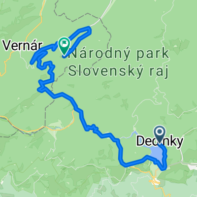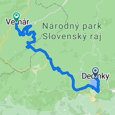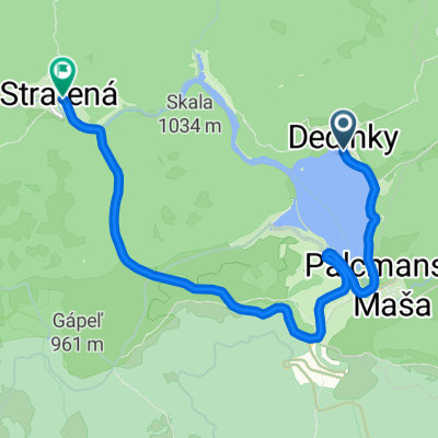
Dedinky- Dobšinský kopec- Stratená
- 7.7 km
- 212 m
- 199 m
- Dobšiná, Košice Region, Slovakia
A cycling route starting in Dobšiná, Košice Region, Slovakia.
Overview
+7/8km velickie <br />+6km popradske
z sakwami pod gerlachov, znalezienie noclegu, next na lekko na velickie i popradske - 200m do gory do polianki a potempotem sie wspinamy tez 200m do strbskepleso do podjazdu na popradske; cala reszta potem bedzie juz w dol z powrotem do gerlachov.
45km telgart-gerlachov <br />12 gerlachov-strbskepleso (w gore)<br />12 strbskepleso-gerlachov (w dol)<br />7/8 velickie podjazd (=14/16)<br />6 popradske podjazd (=12)<br />razem 71 (97)
created this 13 years ago
Route quality
Road
10.5 km
(15 %)
Access road
2.8 km
(4 %)
Paved
49.6 km
(71 %)
Asphalt
49.6 km
(71 %)
Undefined
20.3 km
(29 %)
Route highlights
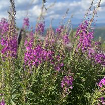
velicke pleso
popradske pleso
Continue with Bikemap
You would like to ride * telgart->tatry day3 or customize it for your own trip? Here is what you can do with this Bikemap route:
Free trial for 3 days, or one-time payment. More about Bikemap Premium.
Discover more Premium features.
Get Bikemap PremiumFrom our community
Open it in the app