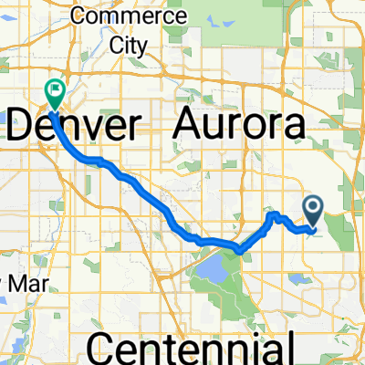
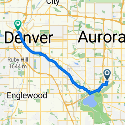
Cherry Creek Loop
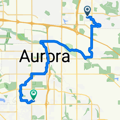
A cycling route starting in Aurora, Colorado, United States of America.
Overview
About this route
This has one very short segment of walking your bike from Parker Road to Lake View Road. Hopefully a local can fix it.
The path parallel to Dam Road is near the highway, I've been told there's a packed gravel alternate if you want to miss the traffic noise.
Saw at least 3 prairie dog towns and a bird observation area.
Just about the S. Peoria St area is a moderate sized homeless encampment.
- 1 h 23 min
- Duration
- 21.9 km
- Distance
- 123 m
- Ascent
- 123 m
- Descent
- 15.9 km/h
- Avg. speed
- 1,747 m
- Avg. speed
Route quality
Waytypes & surfaces along the route
Waytypes
Cycleway
17.4 km
(79 %)
Quiet road
2.5 km
(11 %)
Surfaces
Paved
19.6 km
(89 %)
Unpaved
0 km
(<1 %)
Concrete
12.9 km
(59 %)
Paved (undefined)
4.8 km
(22 %)
Continue with Bikemap
Use, edit, or download this cycling route
You would like to ride Cherry Creek Loop or customize it for your own trip? Here is what you can do with this Bikemap route:
Free features
- Save this route as favorite or in collections
- Copy & plan your own version of this route
- Sync your route with Garmin or Wahoo
Premium features
Free trial for 3 days, or one-time payment. More about Bikemap Premium.
- Navigate this route on iOS & Android
- Export a GPX / KML file of this route
- Create your custom printout (try it for free)
- Download this route for offline navigation
Discover more Premium features.
Get Bikemap PremiumFrom our community
Other popular routes starting in Aurora
- Aurora-Denver loop
- Distance
- 66.7 km
- Ascent
- 211 m
- Descent
- 206 m
- Location
- Aurora, Colorado, United States of America
- ride from Aurora to Denver
- Distance
- 10.5 km
- Ascent
- 30 m
- Descent
- 49 m
- Location
- Aurora, Colorado, United States of America
- Recording from June 12, 2:09 PM
- Distance
- 44.6 km
- Ascent
- 180 m
- Descent
- 182 m
- Location
- Aurora, Colorado, United States of America
- Recording from June 17, 5:54 AM
- Distance
- 23.1 km
- Ascent
- 126 m
- Descent
- 127 m
- Location
- Aurora, Colorado, United States of America
- South Pagosa Street 3209, Aurora to South Pagosa Street 3209, Aurora
- Distance
- 53 km
- Ascent
- 400 m
- Descent
- 394 m
- Location
- Aurora, Colorado, United States of America
- Recording from June 25, 5:14 AM
- Distance
- 20.7 km
- Ascent
- 104 m
- Descent
- 104 m
- Location
- Aurora, Colorado, United States of America
- Aurora-Denver Highline-Cherry Creek-Tollgate Trail Loop
- Distance
- 30.3 km
- Ascent
- 102 m
- Descent
- 99 m
- Location
- Aurora, Colorado, United States of America
- Cherry Creek Loop
- Distance
- 21.9 km
- Ascent
- 123 m
- Descent
- 123 m
- Location
- Aurora, Colorado, United States of America
Open it in the app