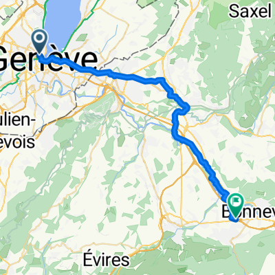
Saint-Prex - Belley
- 156.7 km
- 1,617 m
- 1,629 m
- Geneva, Canton of Geneva, Switzerland
A cycling route starting in Geneva, Canton of Geneva, Switzerland.
Overview
Itinéraire empruntant des routes à faible trafic ou des chemins (GR65, Camino de Santiago).
Distance totale effective : 2405 km
Dénivelé positif total : 28'000 m
Durée : 25 jours (+ repos éventuel)
Plus d'informations sur <span style="text-decoration: underline;">www.europebybike.info</span>
created this 13 years ago
Route highlights
Camping « Le Calatrin », 799 rue de la Morgerie, 38850 PALADRU, Tél : +33 (0)4 76 32 37 48, E-mail: le.calatrin@gmail.com
Camping de Tournon HPA, 1 promenade Roche Defrance, 07300 TOURNON-SUR-RHONE, Tél. : 04.75.08.05.28
Camping de la Teyre, 07310 St-Martin-de-Valamas, Tél : 04 75 30 47 16
Chalet-auberge du Lac du Bouchet, 43510 CAYRES, Tél. 04 71 57 30 22
Camping Municipal, 15110 Chaudes-Aigues
Camping Les Ondines, Rue des Ondines, 46200 Souillac, Tél. 05 65 37 86 44, www.camping-lesondines.com
Camping Municipal, 24150 Lalinde
Camping du Lac du Moulineau, 47160 Damazan
Camping Municipal, 5 rue du Parc des Sports, 40270 Grenade sur l'Adour, Tél. 05 58 45 41 63
Camping du Gave, 64390 Sauveterre de Béarn, Tél: 05.59.38.53.30
Camping Municipal Plaza Berri, Avenue du Fronton, 64220 Saint-Jean-Pied-de-Port, Tél. : + 33 5 59 37 00 92 et + 33 5 59 37 11 19
Camping El Real - Albergue Santiago Apostol, Tel. + 34 948 340220, Paraje El Real, 31100 Puente La Reina
Camping Ibaya, Zuazo de Vitoria 01195, Tel. +34-627.07.43.99
Camping Villarcayo, Ctra. Burgos - Santoña Km 76, 09550 Villarcayo (Burgos), Tel.: +34 947130281
Camping El Molino de Cabuérniga, 35910 Sopeña (Cabuérniga), Telf. +34 942706259, cmcabuerniga@campingcabuerniga.com
Camping La Viorna, Carretera de Santo Toribio, 39570 Potes, Telf: 942 73 20 21 / 942 73 21 01, info@campinglaviorna.com
Hoteles y Camping, Boñar
Albergues y Camping, Hospital de Orbigo
Albergue Ave Fenix, C/Santiago nº 10, 24500 Villafranca del Bierzo (León), telf: 987542655, www.albergueavefenix.com, info@albergueavefenix.com
Albergues y Hostales, Portomarin
Camping Ruta Finisterre, Estorde
Cabo Finisterre, 2325 km de Genève, 2325 km desde Ginebra, 2325 km from Geneva
Continue with Bikemap
You would like to ride Geneva (CH) to Santiago de Compostela (Spain) or customize it for your own trip? Here is what you can do with this Bikemap route:
Free trial for 3 days, or one-time payment. More about Bikemap Premium.
Discover more Premium features.
Get Bikemap PremiumFrom our community
Open it in the app