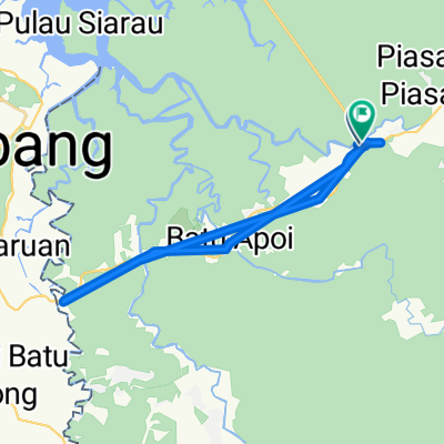
Bukit Patoi extension walk
A cycling route starting in Bangar, Temburong District, Brunei.
Overview
About this route
This is the old trail south from the summit of Bukit Patoi. I have not yet followed it all the way along the ridge, but this part is very untouched and interesting.
- -:--
- Duration
- 1.1 km
- Distance
- 88 m
- Ascent
- 28 m
- Descent
- ---
- Avg. speed
- ---
- Avg. speed
Continue with Bikemap
Use, edit, or download this cycling route
You would like to ride Bukit Patoi extension walk or customize it for your own trip? Here is what you can do with this Bikemap route:
Free features
- Save this route as favorite or in collections
- Copy & plan your own version of this route
- Sync your route with Garmin or Wahoo
Premium features
Free trial for 3 days, or one-time payment. More about Bikemap Premium.
- Navigate this route on iOS & Android
- Export a GPX / KML file of this route
- Create your custom printout (try it for free)
- Download this route for offline navigation
Discover more Premium features.
Get Bikemap PremiumFrom our community
Other popular routes starting in Bangar
- app test
- Distance
- 1.1 km
- Ascent
- 194 m
- Descent
- 190 m
- Location
- Bangar, Temburong District, Brunei
- Bangar Puni Bukok Rataie Loop
- Distance
- 27.4 km
- Ascent
- 303 m
- Descent
- 301 m
- Location
- Bangar, Temburong District, Brunei
- Temburong border to border
- Distance
- 26.9 km
- Ascent
- 292 m
- Descent
- 271 m
- Location
- Bangar, Temburong District, Brunei
- Afternoon Ride
- Distance
- 15 km
- Ascent
- 157 m
- Descent
- 133 m
- Location
- Bangar, Temburong District, Brunei
- Bukit Patoi extension walk
- Distance
- 1.1 km
- Ascent
- 88 m
- Descent
- 28 m
- Location
- Bangar, Temburong District, Brunei
- Brunei, Bangar to Brunei, Bangar
- Distance
- 2 km
- Ascent
- 12 m
- Descent
- 12 m
- Location
- Bangar, Temburong District, Brunei
- Labu logging track
- Distance
- 13.9 km
- Ascent
- 455 m
- Descent
- 452 m
- Location
- Bangar, Temburong District, Brunei
- Unnamed Road, Rataie to Simpang 15-12, Bangar
- Distance
- 13.1 km
- Ascent
- 210 m
- Descent
- 213 m
- Location
- Bangar, Temburong District, Brunei
Open it in the app